
About Mae Hong Son
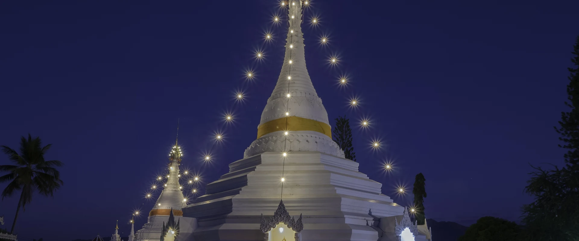
Mae Hong Son stretches along Thailand's mountainous northwestern frontier with Myanmar. Deep valleys, forested ranges and long winding roads shape a province that feels markedly more remote than neighbouring Chiang Mai. Its identity blends northern Thai and Shan traditions with the cultures of long-established highland and border communities. Mae Hong Son town is a quiet provincial capital centred on Jong Kham Lake and Shan-style temples, while Pai is the best-known visitor hub.
The province rewards an area-by-area plan. Mueang Mae Hong Son provides access to Wat Phra That Doi Kong Mu, the lakeside temples, Su Tong Pae Bridge, Pang Ung and Ban Rak Thai. Pai combines a walkable town with hot springs, Pai Canyon and surrounding valleys; Pang Mapha is the gateway to Tham Lot and limestone country; Khun Yuam is associated with the seasonal bua tong fields at Doi Mae U Kho; and Mae Sariang is a practical base for the quieter southern districts. These places are separated by slow mountain roads, so changing base is often more useful than attempting long return day trips.
Mae Hong Son covers 12,681.26 square kilometres. At 31 December 2024 it was divided into 7 districts, 45 subdistricts and 415 villages. Its registered population was 288,082 in 2024; this is the province-wide civil-registration count reported by Thailand's National Statistical Office from Department of Provincial Administration data, not the population of Mae Hong Son town and not a visitor estimate. There is no passenger railway. Highway 1095 connects Chiang Mai with Pai and Mae Hong Son through many bends, while Highway 108 approaches via Mae Sariang and Khun Yuam. Mae Hong Son Airport serves the capital, but schedules can change; confirm current flights and road conditions before committing to a route.
November to February usually brings the coolest and clearest conditions and is the busiest period in Pai and popular mountain areas. The bua tong display at Doi Mae U Kho is seasonal, commonly associated with November, and should be checked before travel. March and April can be hot and affected by smoke and haze; the rainy season brings lush scenery but also heavier rain, reduced visibility and possible disruption on steep roads or trails. Allow generous journey time, carry warmer layers for mornings and high ground, book scarce accommodation ahead in peak periods, and check permissions, park rules or local arrangements for sensitive border and community sites.