
About Nong Bua Lamphu
Nong Bua Lamphu is a small northeastern province set on an upland basin between mountain ranges. The provincial capital is an easygoing administrative centre, while most visitor experiences are spread among rural districts, forested hills, caves, temples and farming communities. Official English sources also sometimes write the name as Nong Bua Lam Phu; Thailand Navigator retains the established canonical spelling Nong Bua Lamphu.
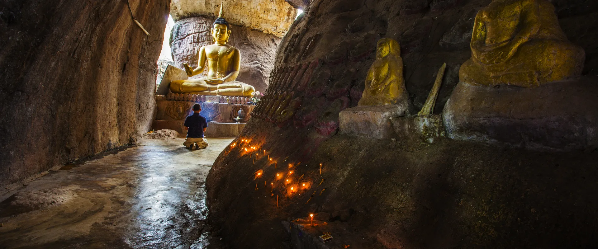
Use Mueang Nong Bua Lam Phu District for the provincial town, the Nong Bua lakeside area and Wat Tham Klong Phen, associated with the forest-meditation tradition. Erawan Cave is a major limestone-cave visit in the Na Wang area, while Non Sang provides access toward Phu Kao–Phu Phan Kham National Park and the reservoir landscapes around Ubol Ratana Dam. TAT also highlights Buaban Forest Park, archaeological evidence, fossils and local handicraft communities. Check the relevant district page before attaching detailed stops to an itinerary.
The province is principally reached by road. An official 2024 provincial profile places Nong Bua Lamphu about 46 kilometres by Highway 210 from Udon Thani, the nearest major regional gateway. Public transport can reach the main town, but caves, parks, temples and villages are dispersed, so a private vehicle, driver or pre-arranged local transfer is usually the practical choice. Confirm park and cave opening conditions, start rural journeys in daylight and allow extra time on mountain roads.
November to February is generally the most comfortable period, with cooler and drier conditions; December and January can feel cool in the morning. April and May are typically hottest, while the rainy season can make cave approaches, viewpoints and trails slippery. Carry water and sun protection, dress modestly at temples, remove footwear where requested, do not enter closed cave or forest areas, and follow current weather and national-park notices.