
About Nonthaburi
Nonthaburi is part of the Bangkok Metropolitan Region, but it is a separate province with six districts and its own riverfront history. Dense residential and commercial areas dominate the east, while parts of the west retain canals, orchards and lower-density communities. The Chao Phraya runs through the province, linking old settlements, temples, ferry crossings and the historic civic centre.
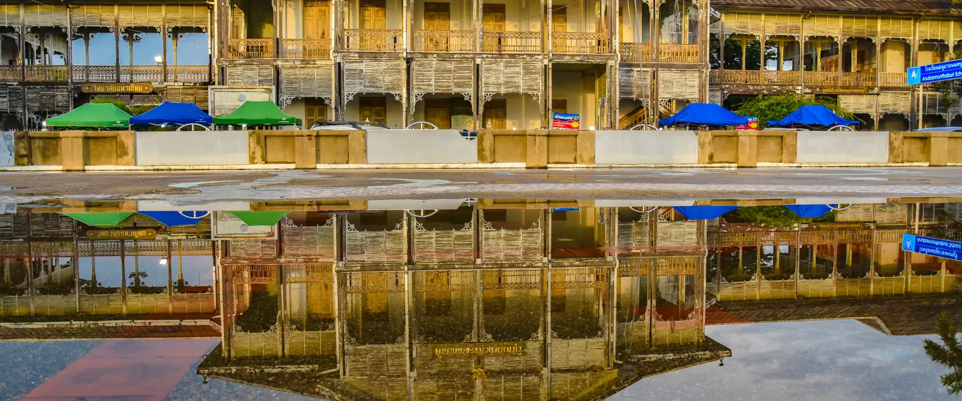
Mueang Nonthaburi is the practical base for Nonthaburi Pier, the old provincial hall and Nonthaburi Museum, plus riverside temples and markets. In Pak Kret, Ko Kret is known for its long-established Mon community, pottery traditions, temples and car-free lanes; reach the island by local ferry and expect the busiest atmosphere on weekends. Other official highlights include Wat Chimplisuthawas and Wat Boromracha Kanchanapisek Anusorn, commonly called Wat Leng Nei Yi 2. Use the district pages for detailed stops rather than attaching local attractions directly to the province.
Nonthaburi is integrated with Bangkok by major roads and the MRT Purple Line, which runs through stations including Nonthaburi Civic Center, Phra Nang Klao Bridge, Bang Yai and Khlong Bang Phai. River services provide another useful approach to Nonthaburi Pier, while Ko Kret and some canal-side areas require a ferry or local transfer. Traffic can be slow at peak times, and a Bangkok address or station name may not indicate the same district, so plan by exact destination and allow time for the last kilometre.
November to February is generally the most comfortable season for walking and cycling, though warm days remain common. March to May is hottest; the rainy season can bring intense showers, high river levels and local flooding. Check current weather, river and ferry conditions, carry sun and rain protection, dress respectfully at temples, and visit Ko Kret early on busy weekends if you prefer quieter lanes.