
About Prachinburi
Prachinburi, also written Prachin Buri, is an eastern Thai province with lowland farming communities and forested uplands. The province does not itself border Cambodia: Sa Kaeo lies farther east. Its heritage includes ancient settlement at Si Mahosot and later communities around the river plain.
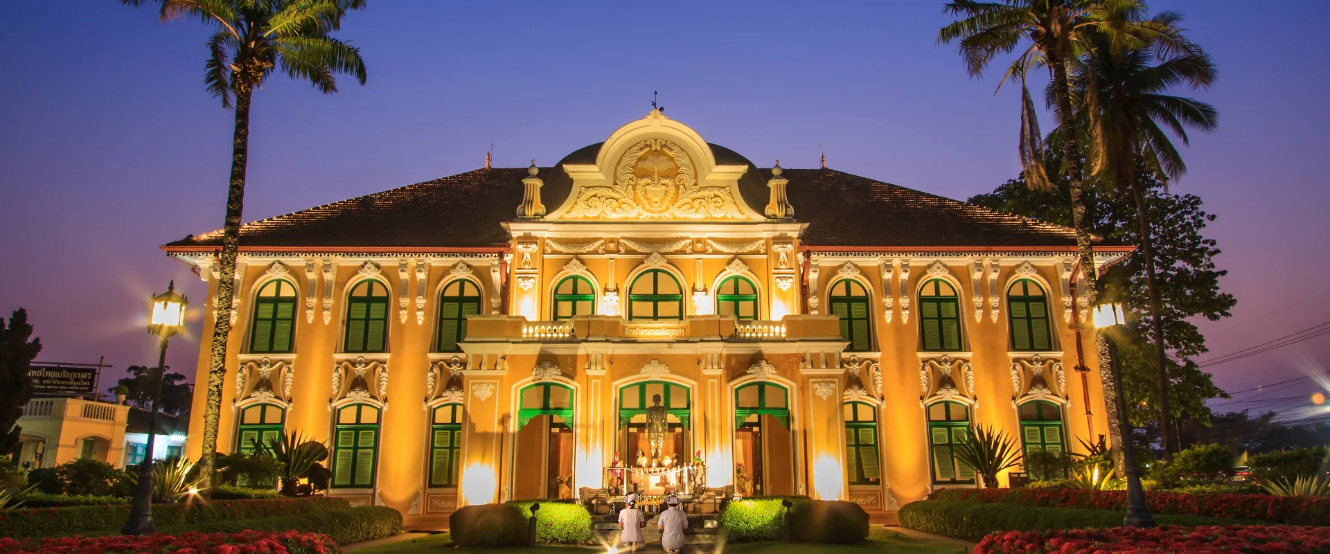
Si Mahosot Ancient Town and the great Bodhi tree area provide archaeological and religious context. The Chao Phraya Abhaibhubejhr building is associated with the province's herbal-medicine heritage. TAT also highlights Khao Yai and Thap Lan forest areas, waterfalls and Kaeng Hin Phoeng, where activities depend on seasonal water and authorised access.
Match your base to either town and heritage visits or an upland outing. National parks extend across administrative boundaries, and the park name alone does not identify a convenient entrance; confirm the actual road approach and return transport. Check park notices and forecasts before forest, waterfall or rafting trips. Avoid treating an old visitor listing as proof of current opening or operating arrangements, and keep to designated routes.
Prachinburi Province covers 4,762.36 square kilometres and had 7 districts, 65 subdistricts and 708 villages at 31 December 2024. Its 2024 registered population was 500,607; this is a whole-province civil-registration count, distinct from the capital city or an estimate of visitors.
November to February generally offers cooler conditions for outdoor visits. The hotter period and the rains bring different travel considerations, with rain usually increasing from around May to October; check current forecasts for your route.