
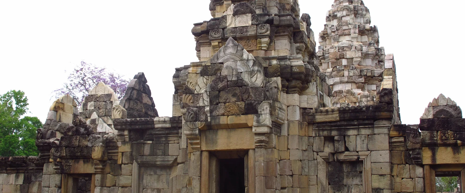
About Sa Kaeo
Sa Kaeo Province lies in eastern Thailand along the Cambodian frontier. Its landscape combines farming settlements, protected forests, ancient sites and border-trading communities. The provincial capital and Aranyaprathet are different centres, so accommodation and onward travel should be planned by district.
Lalu is known for its eroded earth formations, while Pang Sida and Ta Phraya national parks protect forest landscapes. TAT identifies Rong Kluea Market around Aranyaprathet as a major trading attraction, but an established market listing must be distinguished from current border access and security conditions.
Plan domestic travel independently of any proposed international crossing. Check the precise destination, road approach and return arrangements, and confirm park access before making a journey into a remote area. Border access is changeable. As reviewed on 25 October 2026, FCDO reports suspended Thailand–Cambodia land crossings and advises against all but essential travel within 20 km of that border. Check current official advice and local restrictions before visiting frontier areas.
Sa Kaeo Province covers 7,195.14 square kilometres and had 9 districts, 59 subdistricts and 731 villages at 31 December 2024. Its 2024 registered population was 562,242; this is a whole-province civil-registration count, distinct from the capital city or an estimate of visitors.
November to February generally offers cooler conditions for outdoor visits. The hotter period and the rains bring different travel considerations, with rain usually increasing from around May to October; check current forecasts for your route.