
About Samut Sakhon
Samut Sakhon Province lies southwest of Bangkok around the lower Tha Chin River and the Gulf coast. Fishing, seafood processing, salt production and industry shape its working landscape; the provincial town is widely associated with the name Mahachai.
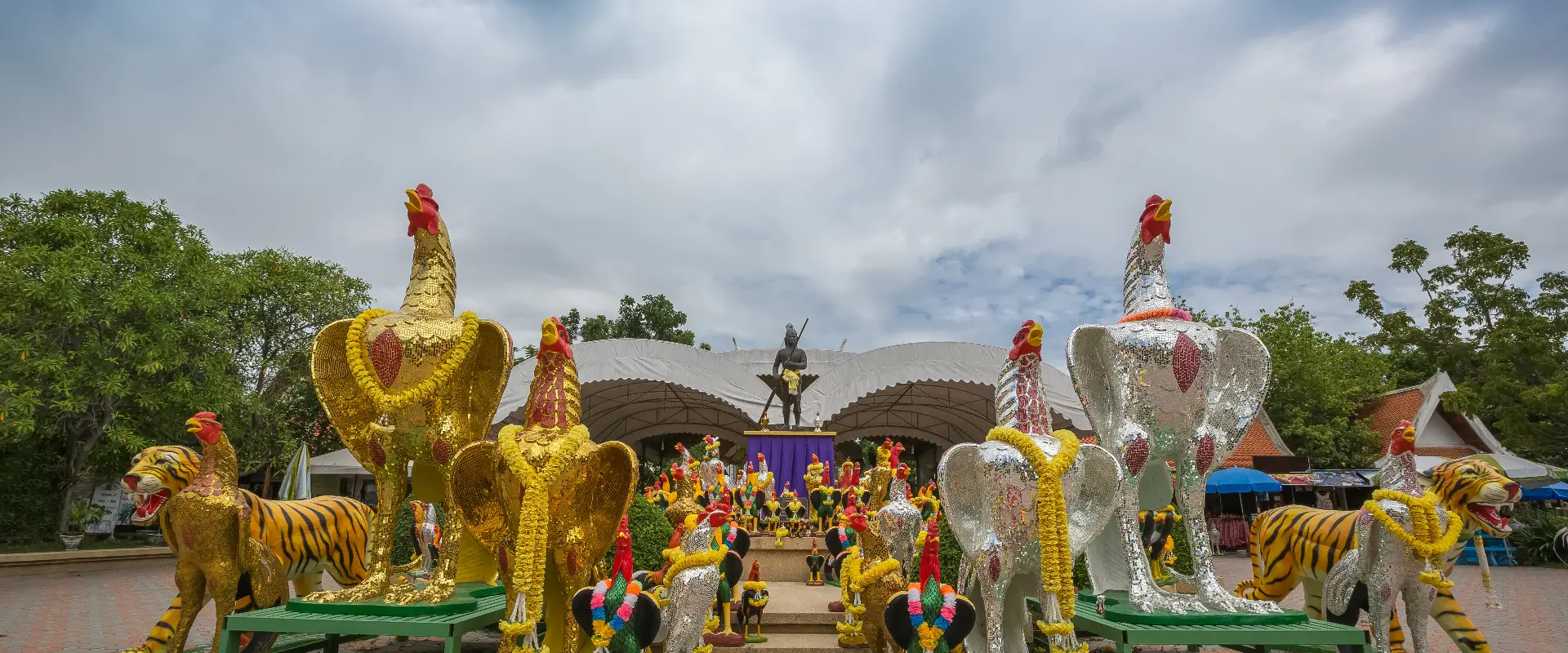
Mahachai Market and Wichian Chodok Fort offer a starting point for town and river heritage. Wat Chong Lom has an estuary setting, while Wat Krok Krak is known for its distinctive Buddha image wearing dark glasses. The Phanthai Norasing historical area and Don Kai Di's Benjarong ceramic craft provide different cultural outings beyond a seafood-market visit.
Separate the town, coast and craft-community stops when planning transport. Confirm the precise destination and return route, particularly if combining river crossings with road travel; working waterfronts are not necessarily continuous public promenades. Markets and production areas are active workplaces, so keep clear of loading and vehicles and ask before photographing craftspeople. Check current visiting arrangements at workshops and follow local advice on coastal access and weather.
Samut Sakhon Province covers 872.35 square kilometres and had 3 districts, 40 subdistricts and 290 villages at 31 December 2024. Its 2024 registered population was 590,867; this is a whole-province civil-registration count, distinct from the capital city or an estimate of visitors.
November to February generally offers cooler conditions for outdoor visits. The hotter period and the rains bring different travel considerations, with rain usually increasing from around May to October; check current forecasts for your route.