
About Samut Songkhram
Samut Songkhram is a small province southwest of Bangkok, shaped by the Mae Klong River, canals, orchards and the Gulf coast. Its three districts are Mueang Samut Songkhram, Amphawa and Bang Khonthi; the compact province still contains several distinct visitor areas.
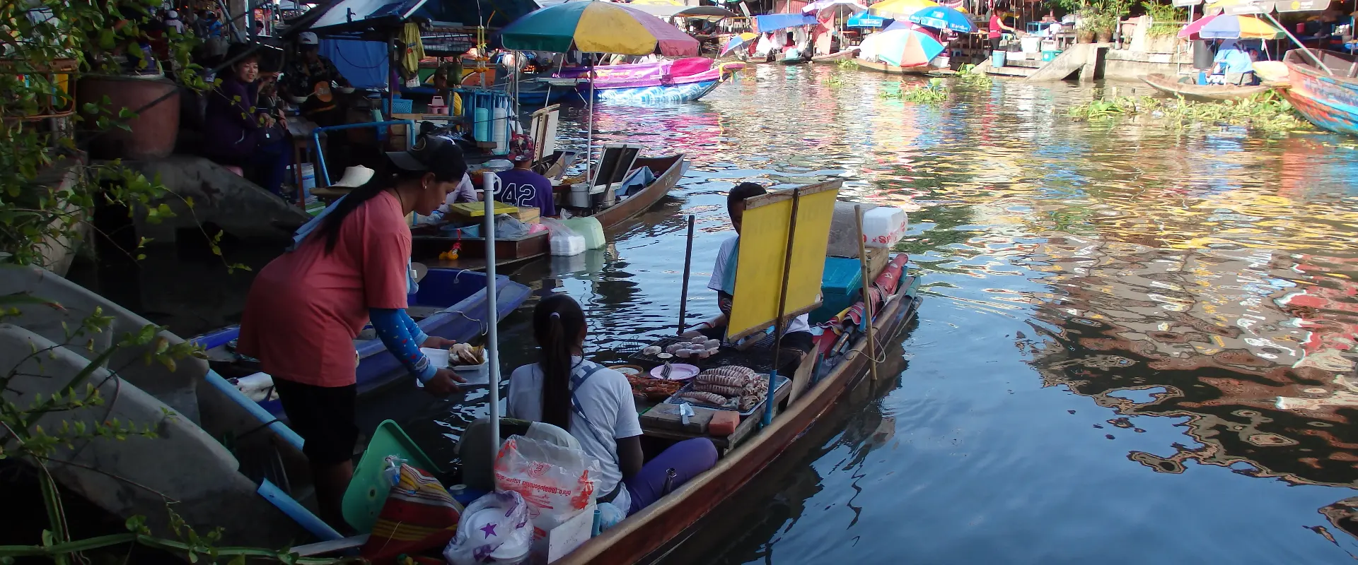
Amphawa and Tha Kha are associated with canal markets and local produce. The Mae Klong railway-market area provides a different town experience, while King Rama II Memorial Park and Khai Bang Kung add cultural and historical context. Coconut-sugar production and orchard communities offer insight into life away from the busiest market streets.
Choose a route around market operating days and the sites you want to visit rather than expecting every market to be active at the same time. Confirm boat meeting points, the agreed itinerary and the complete return journey. At the railway market, follow staff instructions and remain clear of the tracks. Firefly sightings and boat conditions are variable; avoid disturbing riverbank habitat and check local access and tide information before a coastal outing.
Samut Songkhram Province covers 416.71 square kilometres and had 3 districts, 36 subdistricts and 284 villages at 31 December 2024. Its 2024 registered population was 186,784; this is a whole-province civil-registration count, distinct from the capital city or an estimate of visitors.
November to February generally offers cooler conditions for outdoor visits. The hotter period and the rains bring different travel considerations, with rain usually increasing from around May to October; check current forecasts for your route.