
About Uttaradit
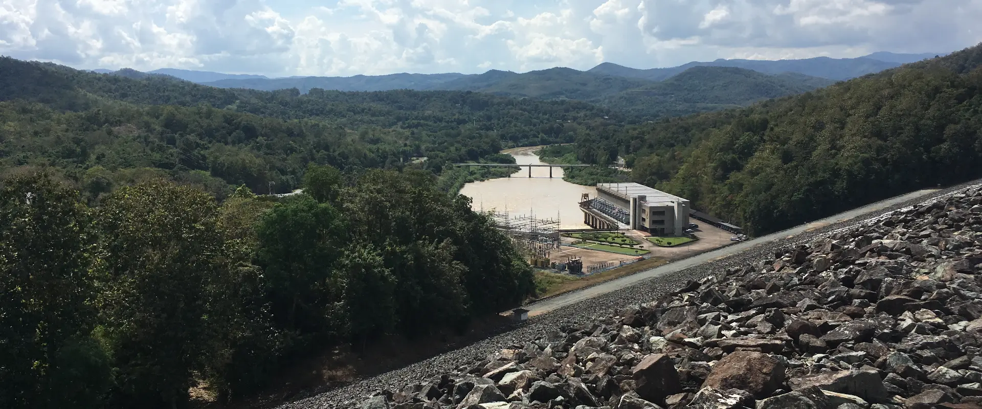
Uttaradit is a northern province with a provincial capital, fertile valleys and forested eastern uplands. Laplae, the Sirikit Dam area and Phu Soi Dao provide different reasons to travel beyond the town and require distinct routes.
The Phraya Phichai Dap Hak Monument and Wat Tha Thanon introduce provincial history and religious life. Laplae is associated with local legends, temples and fruit including langsat and distinctive durian varieties. Sirikit Dam offers reservoir scenery, while Phu Soi Dao National Park is a mountain destination with access and trekking subject to park rules.
A town and Laplae visit is different from a reservoir or mountain stay. Confirm the actual destination, road route, current access and return arrangements before setting out; do not plan all the province's highlights as a short local loop. Fruit availability follows the harvest season, and mountain conditions can change quickly. Check forecasts and park notices, prepare suitable footwear and equipment for the authorised route and respect religious and community spaces.
Uttaradit Province covers 7,838.59 square kilometres and had 9 districts, 67 subdistricts and 613 villages at 31 December 2024. Its 2024 registered population was 436,283; this is a whole-province civil-registration count, distinct from the capital city or an estimate of visitors.
November to February generally offers cooler conditions for outdoor visits. The hotter period and the rains bring different travel considerations, with rain usually increasing from around May to October; check current forecasts for your route.