
District guide
Hua Hin District
Hua Hin District covers 838.9 km² of coast, urban areas and western foothills in Prachuap Khiri Khan Province, with 126,355 registered residents in January 2025.
Official source · Tourism Authority of Thailand: Hua HinUnderstand the areas
Explore the areas within Hua Hin District.
Hua Hin →Bueng Nakhon Subdistrict →Hin Lek Fai Subdistrict →Hua Hin Subdistrict →Huai Sat Yai Subdistrict →Nong Kae Subdistrict →Nong Phlap Subdistrict →Thap Tai Subdistrict →
Loading local information…
View this section with the complete guide →Find a stay in Hua Hin District
Choose a destination, then check prices and availability on Agoda.
Agoda opens Thailand-wide results for this destination. You can refine the area there.
Quick links:
Hua Hin
Find a business or service in Hua Hin District
Loading local information…
View this section with the complete guide →About Hua Hin District
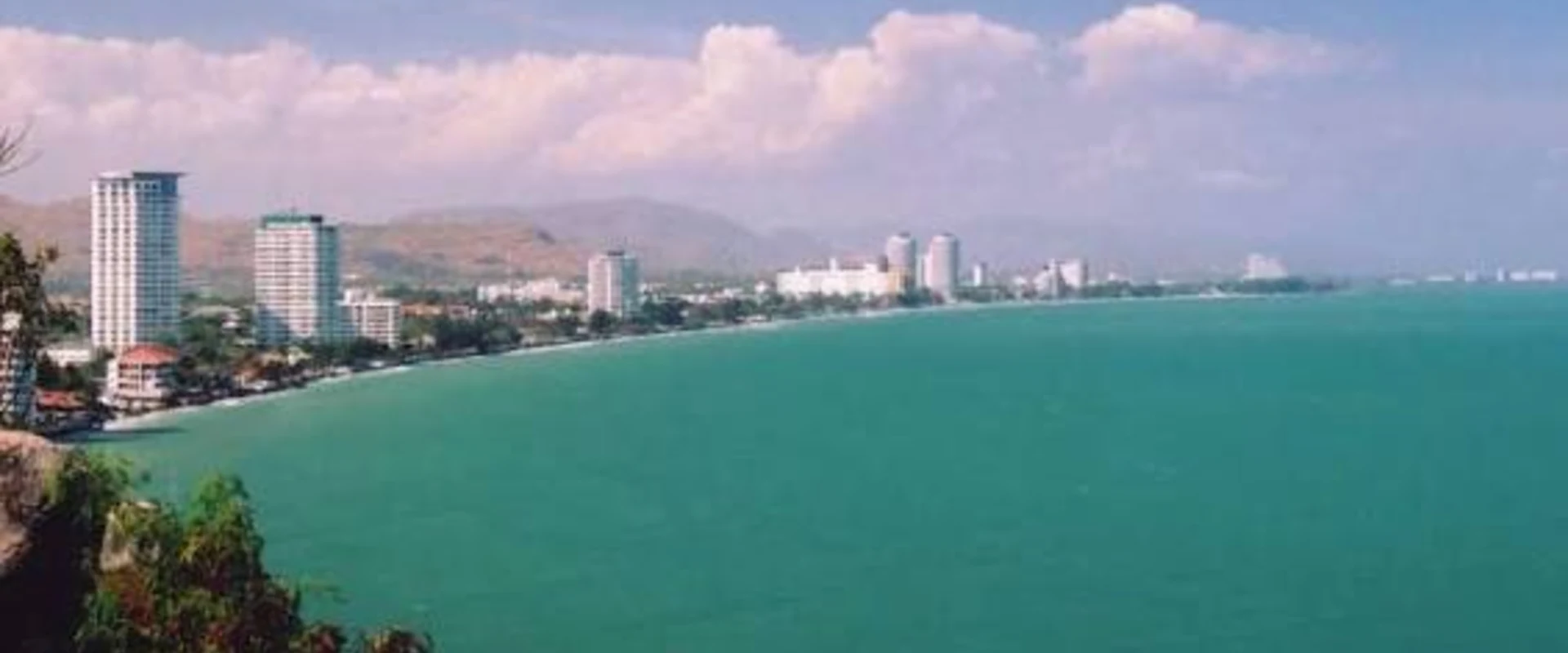
Hua Hin District is the amphoe that contains Hua Hin's well-known beach resort, but it is much larger than the urban waterfront. The district covers 838.9 km², stretching west from the Gulf of Thailand across the coastal plain toward the Tenasserim range and the Myanmar border. Department of Provincial Administration registration data records 126,355 residents across the district in January 2025; this is a registered-population figure, not a count of visitors or everyone physically present at a given time. Administratively, the district contains seven tambons: Hua Hin, Nong Kae, Hin Lek Fai, Nong Phlap, Thap Tai, Huai Sat Yai and Bueng Nakhon.
For a first visit, Hua Hin city is the most convenient base for the beach, the main railway station, markets, restaurants and the widest choice of accommodation. Nong Kae covers the coast south of central Hua Hin, while the other tambons include inland residential, agricultural and forest-edge communities. Choose the lowest-level area that matches where you will stay or what you need; local listings are organised under those child places rather than attached directly to the district.
Phet Kasem Road (Highway 4) is the principal north-south road through the urban side of the district. State Railway of Thailand services call at Hua Hin, making rail a practical alternative to driving from Bangkok. Check the current SRT timetable before travel. Distances become much greater away from the coast, so arrange suitable transport before visiting inland communities.
Hua Hin can be visited throughout the year, but conditions vary between the coast and the western hills. Official local information identifies October and November as a notably wetter period. Check the Thai Meteorological Department's Hua Hin forecast before beach days, outdoor trips or longer journeys inland.
- Last reviewed
- 23 September 2026
- Content owner
- Thailand Navigator Editorial Lead
- Page type
- District guide
Community experiences
Reviews of Hua Hin District
Read first-hand experiences, then share your own.
Loading member reviews…
Reviews are temporarily unavailable. Please try again.
—
Ratings include stars without a written review.Rating distribution
No written reviews yet
Your experience could help the next visitor decide what to explore.
Be the first to share your experience
What stood out? What would you tell someone planning a visit? A short, honest review is enough.
Write a review