
About Kalasin
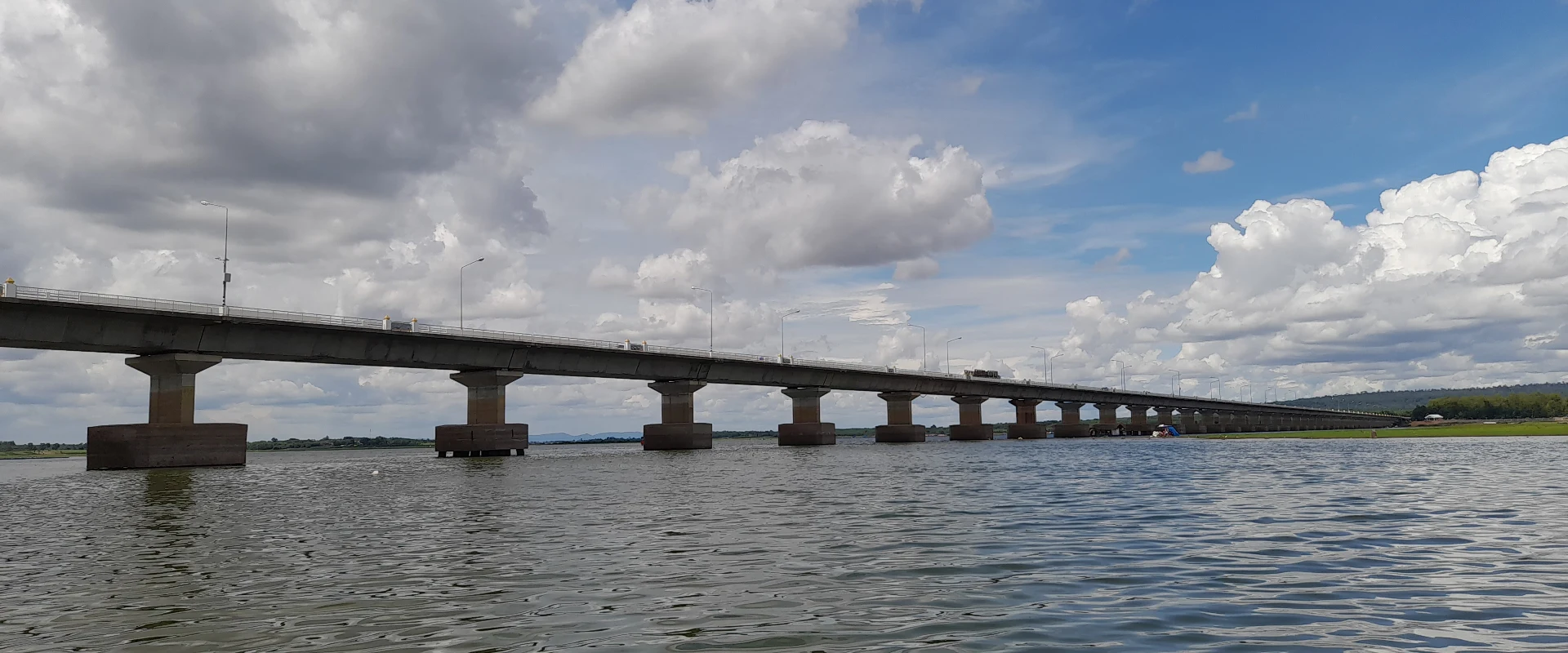
Kalasin is a landlocked province in central Isan shaped by the Pao River system, the Lam Pao reservoir and the foothills of the Phu Phan range. It is best known for major dinosaur discoveries at Phu Kum Khao and the Sirindhorn Museum in Sahatsakhan District, but its appeal also includes the ancient settlement of Fa Daet Song Yang, Buddhist sites, reservoirs and a strong Phu Thai cultural identity. The pace is local and unhurried, making Kalasin particularly rewarding for travellers interested in palaeontology, archaeology, textiles and community traditions.
Plan the province as a road trip rather than a single-city break. Kalasin city is the practical base for markets and services; Sahatsakhan is the focus for the Sirindhorn Museum, excavation story and nearby Lam Pao scenery; Kamalasai links to Phrathat Yakhu and the Fa Daet Song Yang heritage area; Kham Muang is associated with Praewa silk; and Kuchinarai and Khao Wong offer Phu Thai cultural landscapes. Sites are spread across the province, so a private car or arranged driver gives much more flexibility than relying on infrequent local connections. Confirm museum, temple and community-visit arrangements before travelling.
Kalasin covers 6,946.75 square kilometres. At 31 December 2024 it was divided into 18 districts, 135 subdistricts and 1,584 villages. Its registered population was 962,444 in 2024; this is the province-wide civil-registration count reported by Thailand's National Statistical Office from Department of Provincial Administration data, not the population of Kalasin city. Praewa silk weaving, Phu Thai traditions and pong lang music are important parts of the province's cultural character; visitors should treat village activities as community encounters rather than staged attractions and ask before photographing people or ceremonies.
Road is the principal way to reach and explore Kalasin. Long-distance buses serve the province, while travellers using flights or operating rail services normally connect through neighbouring regional hubs and continue by road; check current schedules and transfer options for the intended date. November to February generally brings the coolest, driest and most comfortable conditions for outdoor touring. March and April are hotter, and the May-to-October wet season can bring heavy showers, greener scenery and occasional disruption on rural roads. Allow at least two days to combine the museum and archaeological circuit with a textile or cultural district, carry water and sun protection, dress respectfully for temples, and verify festival dates rather than assuming they are fixed annually.