
About Nakhon Phanom
Nakhon Phanom occupies Thailand's western bank of the Mekong opposite Khammouane Province in Laos. Its provincial capital has a relaxed riverfront, views towards the mountains across the river and a heritage shaped by long movement between communities on both sides of the Mekong. The Tourism Authority of Thailand highlights Lao and other ethnic influences in local language, customs, food, architecture, welcoming ceremonies and regional dance traditions.
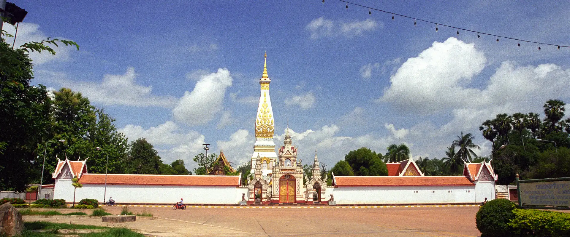
Plan the province by district. Mueang Nakhon Phanom is the practical base for the Mekong promenade, Wat Okat Si Bua Ban and Saint Anna Nong Saeng Catholic Church. That Phanom is the major pilgrimage destination for Wat Phra That Phanom, while Renu Nakhon is associated with Phu Thai culture and Phra That Renu. Ban Phaeng provides access towards Phu Langka National Park. These places are spread across the province, so group nearby districts together and confirm temple, park and local-event arrangements before a long journey.
Nakhon Phanom covers 5,512.67 square kilometres. At 31 December 2024 it was divided into 12 districts, 99 subdistricts and 1,132 villages. Its registered population was 710,740 in 2024; this is the province-wide civil-registration count reported by Thailand's National Statistical Office, not the population of Nakhon Phanom city and not a visitor estimate. Nakhon Phanom Airport and interprovincial roads provide the main domestic access. The Third Thai–Lao Friendship Bridge links the province with Khammouane; travellers crossing the international border should check current passport, visa, customs and transport requirements with the responsible authorities.
November to February generally offers cooler, drier conditions for the riverfront, temples and outdoor sightseeing. March to mid-May is typically hot, while the rainy season normally begins around mid-May and eases in upper Thailand around mid-October; heavy rain can affect forest access and river conditions. Dress respectfully at religious sites, carry sun and rain protection, allow time for district-to-district travel, and check current park notices, flight times and border arrangements before departure.