
About Nan
Nan is a mountainous northern province bordering Laos, with a small, walkable provincial capital and a wide rural hinterland of valleys, forested ranges and farming communities. The city is known for Lanna and local Nan artistic traditions, while the wider province rewards slower travel focused on temples, textiles, landscapes and community life rather than a rushed checklist.
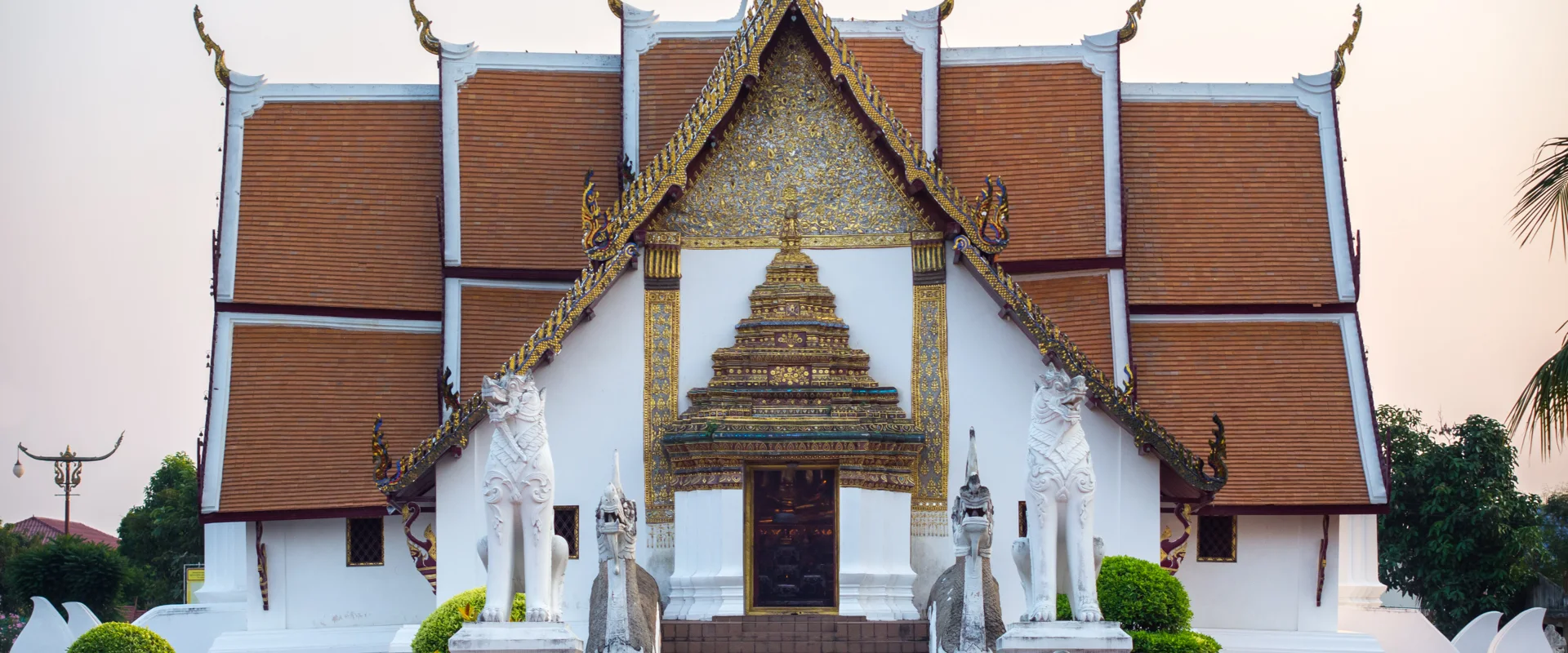
Use Mueang Nan as the cultural base for Wat Phumin and its celebrated murals, Nan National Museum, Wat Phra That Khao Noi and nearby Wat Phra That Chae Haeng. Pua is a useful northern base for Tai Lue culture, rice-field scenery and access toward Doi Phu Kha National Park. Bo Kluea is known for its mountain salt tradition and sits on scenic but winding highland roads. In the south, Na Noi provides access toward Sao Din Na Noi and Si Nan National Park, including Doi Samer Dao. Distances can look short on a map but mountain journeys take time.
Nan covers 11,472.07 square kilometres. At 31 December 2024 it had 15 districts, 99 subdistricts and 895 villages. Its registered population was 470,507 in 2024; this is the province-wide civil-registration count, not the population of Nan city and not a visitor estimate. Nan Nakhon Airport is the most direct public-transport gateway. There is no railway station in the province, so onward travel depends on road transport; for rural districts, confirm local transfers, allow daylight for winding routes and check fuel and weather conditions before longer drives.
November to February generally offers cooler, drier weather for city exploration and mountain viewpoints, with cold nights possible at elevation. March to mid-May is hot, and rain usually increases from around mid-May to October; heavy rain can affect mountain roads, trails and visibility. Check current national-park notices, weather and air-quality information, dress respectfully at temples, avoid disturbing wildlife and village life, and do not assume viewpoints, campsites or remote roads are open without confirmation.