
About Narathiwat
Narathiwat is Thailand's southeasternmost province, facing the Gulf of Thailand and bordering Malaysia. Much of the interior is forested and mountainous, while coastal plains, rivers and peat wetlands shape the east. Its identity is strongly influenced by Malay-Muslim culture alongside Buddhist and Chinese communities, so respectful, modest dress and sensitivity around religious places and local customs are particularly important.
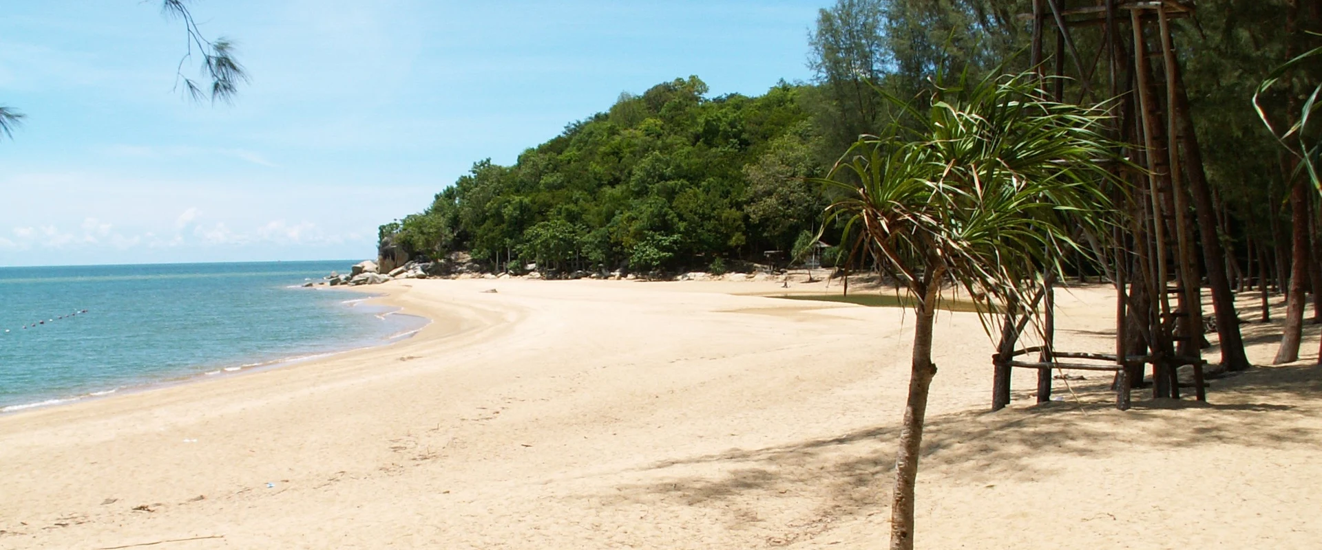
Mueang Narathiwat is the provincial base for Narathat Beach, Narathiwat Central Mosque and nearby Khao Kong Buddhist Park. Pa Jo Waterfall in Bacho is a gateway to forest scenery, while the Sirindhorn Peat Swamp Forest introduces the province's distinctive wetland ecology. Su-ngai Kolok is the principal border and commercial centre and the southern terminus of Thailand's railway. Use the verified district pages to plan geographically; attractions and services that belong to a district are not attached directly to this province record.
Narathiwat Airport is the main air gateway, and the southern railway reaches Su-ngai Kolok; roads connect the province with Pattani, Yala, Songkhla and border districts. Timetables, border procedures and local transport availability can change, so confirm directly with operators and authorities. Security is a decisive planning factor: at the 21 September 2026 review, the UK FCDO advised against all but essential travel to Narathiwat. Check your own government's current advice, insurance validity and local official instructions before committing to a journey.
The climate is warm and humid year-round. The lower Gulf coast is often relatively drier from around February to April, while the northeast monsoon can bring heavy rain and flooding, especially later in the year; conditions vary and no season removes security considerations. Check Thai Meteorological Department forecasts and transport status before travel, allow extra time for checkpoints or disruptions, avoid restricted areas, and follow all instructions from local authorities.