
Province guide
Narathiwat
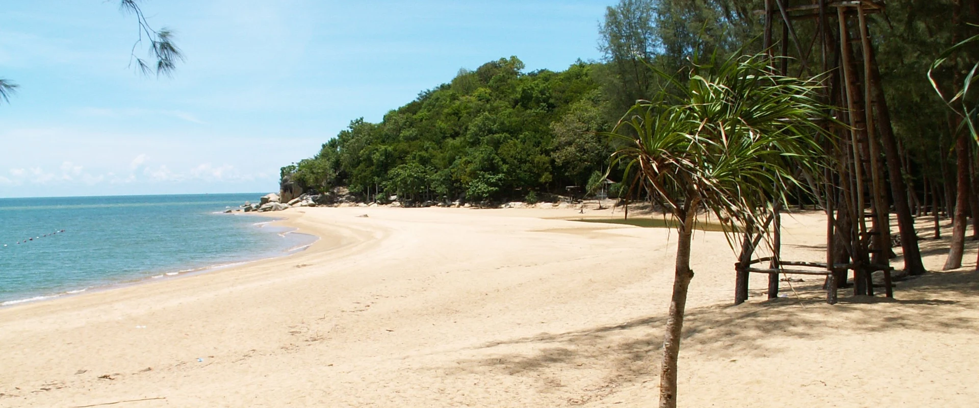
Narathiwat Province combines Malay-Muslim borderland culture, Gulf coast, peat-swamp forest and forested mountains, with Narathiwat town and Su-ngai Kolok as its main urban centres.
Official source · National Statistical Office of ThailandUnderstand the areas
Explore the areas within Narathiwat and find a place for your visit or everyday life.
The interactive map loads as it comes into view.
Open full map →Bacho DistrictBacho District is an administrative district (amphoe) in Narathiwat Province, Thailand.Chanae DistrictChanae District is an administrative district (amphoe) in Narathiwat Province, Thailand.Cho-Airong DistrictCho-Airong District is an administrative district (amphoe) in Narathiwat Province, Thailand.Mueang Narathiwat DistrictMueang Narathiwat District is an administrative district (amphoe) in Narathiwat Province, Thailand.Explore the geographic hierarchy →
Places by type





Explore Narathiwat
Browse places by type and discover what to see and do in Narathiwat.
History & culture
Explore Thailand’s rich history through ancient ruins, landmarks and monuments.
Explore places (0) →Religious sites
Visit Buddhist temples, shrines, churches and mosques across Thailand.
Explore places (0) →Nature & scenery
Discover beaches, islands, waterfalls, caves and breathtaking viewpoints.
Explore places (0) →Parks & outdoors
Explore national parks, trails, gardens and incredible wildlife.
Explore places (0) →Public spaces
Find vibrant squares, bridges and iconic public places.
Explore places (0) →Transport
Find airports, railway stations, bus and ferry terminals across Thailand.
Explore places (1) →Local categories
Things to do
Browse local businesses and services by type.
Browse every category in Narathiwat →
Find a business or service in Narathiwat
Search published businesses and services in this area.
Businesses in Narathiwat
View more businesses →No connected businesses are published yet.
Living in Narathiwat
Explore neighbourhoods, everyday services and practical information for a longer stay.
Choose an area to learn about living in Narathiwat
Each area has its own character. Follow the local guides to learn more.
Bacho District
Bacho District is an administrative district (amphoe) in Narathiwat Province, Thailand.
Chanae District
Chanae District is an administrative district (amphoe) in Narathiwat Province, Thailand.
Cho-Airong District
Cho-Airong District is an administrative district (amphoe) in Narathiwat Province, Thailand.
Mueang Narathiwat District
Mueang Narathiwat District is an administrative district (amphoe) in Narathiwat Province, Thailand.
Compare selected areas
Everyday essentials
HealthcareHospitals, clinics and medical services.Explore →
Schools & familyEducation and everyday family life.Explore →
Shopping & marketsLocal shops, markets and essentials.Explore →
Getting aroundLocal transport, taxis and vehicle hire.Explore →
Working remotelyCoworking and professional services.Explore →
More ways to use Narathiwat
Plan the practical details
Find transport options and useful information for visiting Narathiwat.
Getting to Narathiwat
Explore routes and transport connections. Check current schedules and availability before travelling.




Getting around Narathiwat
Find local transport services and practical guidance.

Essential travel information
Weather in Narathiwat
Weather is often relatively drier from February to April, but security advice is the primary consideration; check current travel advice, forecasts and local conditions before travel.
Loading current conditions and forecast…
Nearby destinations
Explore more places and local guides.
Bo-Ngo Subdistrict
Bo-Ngo is a subdistrict of Ra-ngae with inland village communities, agricultural water projects and the Wang Thong waterfall landscape. · 3.4 km away
Ra-Ngae District
Ra-Ngae District is an administrative district (amphoe) in Narathiwat Province, Thailand. · 6.5 km away
Kalisa Subdistrict
Kalisa is an inland subdistrict of Ra-ngae with mountain-side settlements and agricultural water systems around villages such as Ban Kadeng. · 7.3 km away
Ba-Ngo Sato Subdistrict
Ba-Ngo Sato is a subdistrict of Ra-ngae with village agriculture, water-management works and locally documented food and textile crafts. · 9.8 km away
About Narathiwat
Narathiwat is Thailand's southeasternmost province, facing the Gulf of Thailand and bordering Malaysia. Much of the interior is forested and mountainous, while coastal plains, rivers and peat wetlands shape the east. Its identity is strongly influenced by Malay-Muslim culture alongside Buddhist and Chinese communities, so respectful, modest dress and sensitivity around religious places and local customs are particularly important.
Mueang Narathiwat is the provincial base for Narathat Beach, Narathiwat Central Mosque and nearby Khao Kong Buddhist Park. Pa Jo Waterfall in Bacho is a gateway to forest scenery, while the Sirindhorn Peat Swamp Forest introduces the province's distinctive wetland ecology. Su-ngai Kolok is the principal border and commercial centre and the southern terminus of Thailand's railway. Use the verified district pages to plan geographically; attractions and services that belong to a district are not attached directly to this province record.
Narathiwat Airport is the main air gateway, and the southern railway reaches Su-ngai Kolok; roads connect the province with Pattani, Yala, Songkhla and border districts. Timetables, border procedures and local transport availability can change, so confirm directly with operators and authorities. Security is a decisive planning factor: at the 21 September 2026 review, the UK FCDO advised against all but essential travel to Narathiwat. Check your own government's current advice, insurance validity and local official instructions before committing to a journey.
The climate is warm and humid year-round. The lower Gulf coast is often relatively drier from around February to April, while the northeast monsoon can bring heavy rain and flooding, especially later in the year; conditions vary and no season removes security considerations. Check Thai Meteorological Department forecasts and transport status before travel, allow extra time for checkpoints or disruptions, avoid restricted areas, and follow all instructions from local authorities.
- Last reviewed
- 20 September 2026
- Content owner
- Thailand Navigator Editorial Team
- Page type
- Province guide