
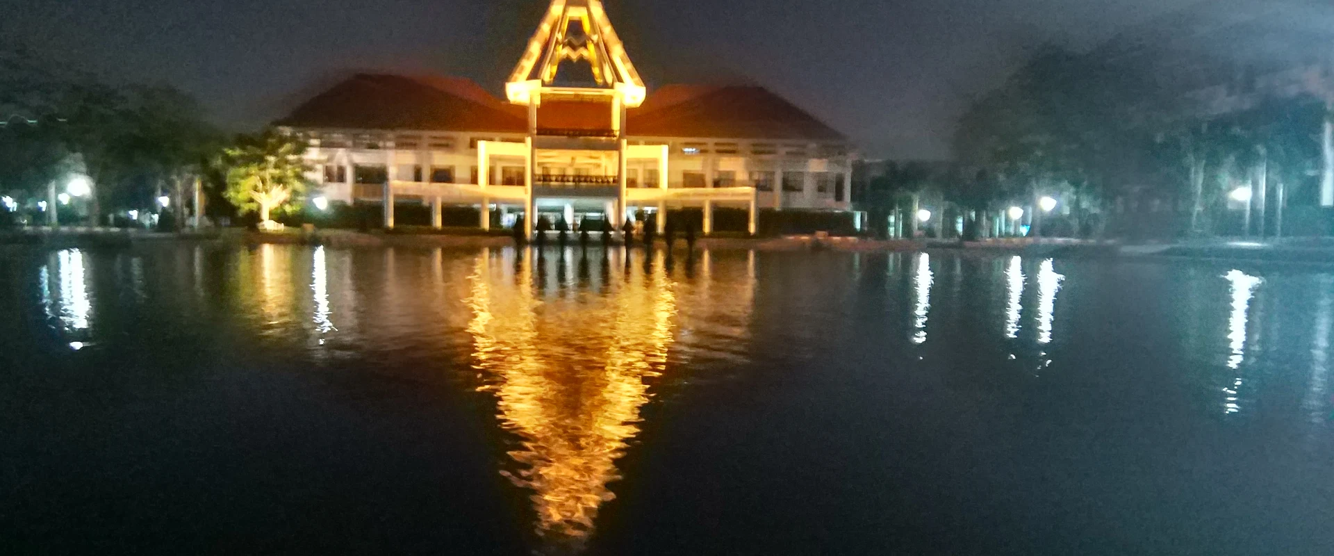
About Pathum Thani
Pathum Thani is a low-lying Central Thailand province immediately north of Bangkok, shaped by the Chao Phraya River, irrigation canals, expanding suburbs, universities, research institutions and long-established farming communities. The province is part of the Bangkok Metropolitan Region but remains a separate first-order administrative division with seven districts.
Mueang Pathum Thani and Sam Khok provide the strongest riverfront and heritage focus, including temples and communities associated with the province's Mon history. Khlong Luang and Thanyaburi are useful for family and educational visits: official tourism highlights the National Science Museum and National Geological Museum, while Lat Lum Kaeo is known for the century-old Rahaeng riverside market. Other official highlights include Wat Chedi Thong and the shell-built chedis at Wat Chedi Hoy. Use the seven district pages for local detail rather than treating these stops as province-level listings.
Pathum Thani is closely connected to Bangkok by Phahonyothin Road, Vibhavadi Rangsit Road and expressways. The SRT Dark Red Line serves Lak Hok and Rangsit, making the Rangsit and university areas practical without a car; destinations along the Chao Phraya, in Sam Khok, Lat Lum Kaeo and Nong Suea generally need a taxi, local transport or private vehicle for the final leg. Confirm the exact district and pin before travelling because the province is broad and traffic can be heavy at commuter times.
November to February is generally the most comfortable period for outdoor visits, although days remain warm. March to May is hotter, while the rainy season brings humid conditions, intense showers and possible local flooding in this flat river-basin province. Check the Thai Meteorological Department forecast, allow extra journey time during heavy rain, carry sun and rain protection, dress respectfully at temples, and verify current opening times directly with museums and markets.