
Province guide
Pathum Thani
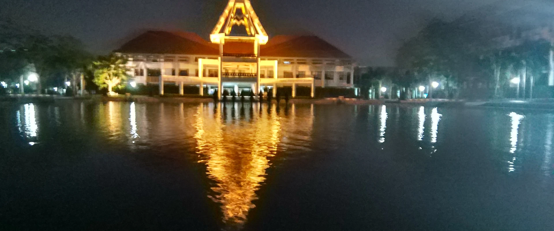
Pathum Thani is a Bangkok-bordering province of Chao Phraya communities, Mon heritage, canals, science museums, traditional markets and fast-growing Rangsit suburbs.
Official source · National Statistical Office of ThailandUnderstand the areas
Explore the areas within Pathum Thani and find a place for your visit or everyday life.
The interactive map loads as it comes into view.
Open full map →Khlong Luang DistrictKhlong Luang District is an administrative district (amphoe) in Pathum Thani Province, Thailand.Lam Luk Ka DistrictLam Luk Ka District is an administrative district (amphoe) in Pathum Thani Province, Thailand.Lat Lum Kaeo DistrictLat Lum Kaeo District is an administrative district (amphoe) in Pathum Thani Province, Thailand.Mueang Pathum Thani DistrictMueang Pathum Thani District is an administrative district (amphoe) in Pathum Thani Province, Thailand.Explore the geographic hierarchy →
Places by type





Explore Pathum Thani
Browse places by type and discover what to see and do in Pathum Thani.
History & culture
Explore Thailand’s rich history through ancient ruins, landmarks and monuments.
Explore places (0) →Religious sites
Visit Buddhist temples, shrines, churches and mosques across Thailand.
Explore places (0) →Nature & scenery
Discover beaches, islands, waterfalls, caves and breathtaking viewpoints.
Explore places (0) →Parks & outdoors
Explore national parks, trails, gardens and incredible wildlife.
Explore places (0) →Public spaces
Find vibrant squares, bridges and iconic public places.
Explore places (0) →Transport
Find airports, railway stations, bus and ferry terminals across Thailand.
Explore places (0) →Local categories
 Tours & activitiesLocal experiences and outdoor adventures.Explore →
 Health & wellnessHealthcare, wellbeing and everyday support.Explore →
Browse every category in Pathum Thani →
Things to do
Browse local businesses and services by type.
Tours & activitiesLocal experiences and outdoor adventures.Explore →
Health & wellnessHealthcare, wellbeing and everyday support.Explore →

Find a business or service in Pathum Thani
Search published businesses and services in this area.
Businesses in Pathum Thani
View more businesses →
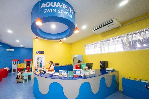
Aqua-Tots Swim School Klong 4 - Lamlukka
An indoor, heated saltwater swim school in Lat Sawai for children aged four months to 12 years, with group, semi-private and private lessons.
Bangkok Golf Club
Bangkok Golf Club is MBK’s 18-hole, par-72 course in Bang Kadi, with floodlit golf, five tee sets and island greens on the fifth and eleventh holes.
Beaconhouse Yamsaard School Rangsit
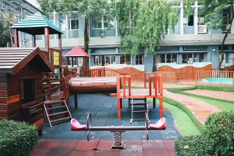
A bilingual school in Lat Sawai offering pre-kindergarten, kindergarten, primary and secondary programmes, with different English-language pathways.
Brightstart Academy (ELD Campus)
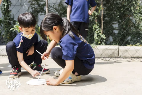
Brightstart Academy’s early-learning campus in Mueang Ek, Lak Hok, offers kindergarten learning with play, hands-on activities and everyday English.
Living in Pathum Thani
Explore neighbourhoods, everyday services and practical information for a longer stay.
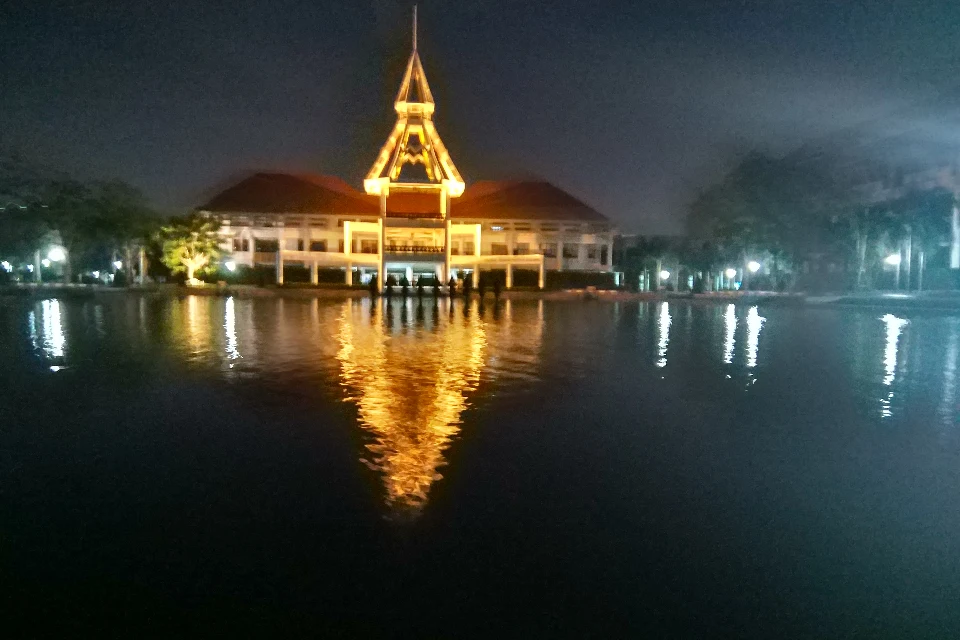
Choose an area to learn about living in Pathum Thani
Each area has its own character. Follow the local guides to learn more.
Khlong Luang District
Khlong Luang District is an administrative district (amphoe) in Pathum Thani Province, Thailand.
Lam Luk Ka District
Lam Luk Ka District is an administrative district (amphoe) in Pathum Thani Province, Thailand.
Lat Lum Kaeo District
Lat Lum Kaeo District is an administrative district (amphoe) in Pathum Thani Province, Thailand.
Mueang Pathum Thani District
Mueang Pathum Thani District is an administrative district (amphoe) in Pathum Thani Province, Thailand.
Compare selected areas
Everyday essentials
HealthcareHospitals, clinics and medical services.Explore →
Schools & familyEducation and everyday family life.Explore →
Shopping & marketsLocal shops, markets and essentials.Explore →
Getting aroundLocal transport, taxis and vehicle hire.Explore →
Working remotelyCoworking and professional services.Explore →
More ways to use Pathum Thani
Plan the practical details
Find transport options and useful information for visiting Pathum Thani.
Getting to Pathum Thani
Explore routes and transport connections. Check current schedules and availability before travelling.



Getting around Pathum Thani
Find local transport services and practical guidance.

Essential travel information
Weather in Pathum Thani
November to February is generally more comfortable for outdoor visits; check current weather and flood conditions.
Loading current conditions and forecast…
Nearby destinations
Explore more places and local guides.
Ban Chang Subdistrict
Ban Chang Subdistrict is an official tambon in Mueang Pathum Thani District, Pathum Thani, Thailand. · 0.9 km away
Bang Prok Subdistrict
Bang Prok Subdistrict is an official tambon in Mueang Pathum Thani District, Pathum Thani, Thailand. · 1.0 km away
Bang Luang Subdistrict
Bang Luang Subdistrict is an official tambon in Mueang Pathum Thani District, Pathum Thani, Thailand. · 2.6 km away
Mueang Pathum Thani District
Mueang Pathum Thani District is an administrative district (amphoe) in Pathum Thani Province, Thailand. · 3.1 km away
About Pathum Thani
Pathum Thani is a low-lying Central Thailand province immediately north of Bangkok, shaped by the Chao Phraya River, irrigation canals, expanding suburbs, universities, research institutions and long-established farming communities. The province is part of the Bangkok Metropolitan Region but remains a separate first-order administrative division with seven districts.
Mueang Pathum Thani and Sam Khok provide the strongest riverfront and heritage focus, including temples and communities associated with the province's Mon history. Khlong Luang and Thanyaburi are useful for family and educational visits: official tourism highlights the National Science Museum and National Geological Museum, while Lat Lum Kaeo is known for the century-old Rahaeng riverside market. Other official highlights include Wat Chedi Thong and the shell-built chedis at Wat Chedi Hoy. Use the seven district pages for local detail rather than treating these stops as province-level listings.
Pathum Thani is closely connected to Bangkok by Phahonyothin Road, Vibhavadi Rangsit Road and expressways. The SRT Dark Red Line serves Lak Hok and Rangsit, making the Rangsit and university areas practical without a car; destinations along the Chao Phraya, in Sam Khok, Lat Lum Kaeo and Nong Suea generally need a taxi, local transport or private vehicle for the final leg. Confirm the exact district and pin before travelling because the province is broad and traffic can be heavy at commuter times.
November to February is generally the most comfortable period for outdoor visits, although days remain warm. March to May is hotter, while the rainy season brings humid conditions, intense showers and possible local flooding in this flat river-basin province. Check the Thai Meteorological Department forecast, allow extra journey time during heavy rain, carry sun and rain protection, dress respectfully at temples, and verify current opening times directly with museums and markets.
- Last reviewed
- 20 September 2026
- Content owner
- Thailand Navigator Editorial Team
- Page type
- Province guide