
About Phetchabun
Phetchabun is a province of mountain ranges and settled valleys with several distinct visitor areas. Khao Kho and Phu Thap Boek attract people seeking highland scenery, while the provincial town and the southern Si Thep area offer different cultural and historical experiences.
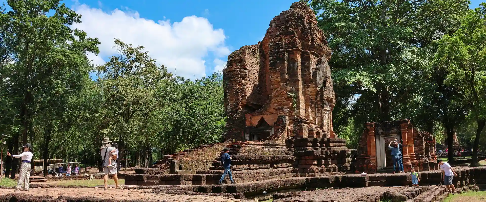
Wat Phra That Pha Son Kaew and Khao Kho viewpoints are notable highland stops. Nam Nao and Thung Salaeng Luang provide protected natural landscapes with activities subject to park rules. In the south, the Ancient Town of Si Thep and its associated Dvaravati monuments form a UNESCO World Heritage property, inscribed in 2023; it should be planned as a separate archaeological visit rather than an incidental stop on a mountain loop.
Group your itinerary geographically. Highland roads, the town and Si Thep involve substantial onward travel, and a province-wide route needs realistic driving time. Confirm which park entrance or historical-site component you intend to reach. Cool mornings and mist are possible on higher ground, but visibility varies. Check forecasts and park access, use marked trails and keep clear of fragile archaeological structures.
Phetchabun Province covers 12,668.42 square kilometres and had 11 districts, 117 subdistricts and 1440 villages at 31 December 2024. Its 2024 registered population was 960,718; this is a whole-province civil-registration count, distinct from the capital city or an estimate of visitors.
November to February generally offers cooler conditions for outdoor visits. The hotter period and the rains bring different travel considerations, with rain usually increasing from around May to October; check current forecasts for your route.