
About Ranong
Ranong is a mountainous province on Thailand's upper Andaman coast. Its namesake town has a port and trading history with Chinese cultural influences, while the wider province contains forest, waterfalls, hot springs and offshore islands.
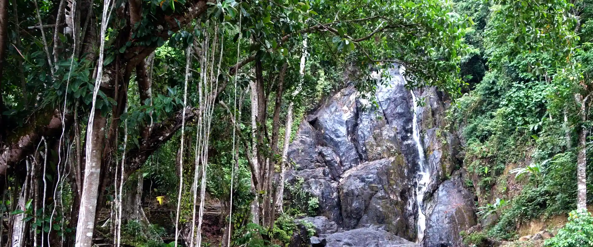
Hot-spring areas near the town offer a mainland alternative to a beach stay. Ngao waterfall and the grass-covered Khao Ya landscape are notable outings, and the first governor's grave adds historical context. Ko Phayam is a separate island destination with beaches and local communities, reached through specific mainland piers and boat services.
Choose between a town-based mainland itinerary and an island stay before organising transport. Confirm the precise pier, boat type, baggage arrangements and return service. A reference to an old Ranong–Myanmar crossing is not evidence that a current international trip is available. Ranong is particularly wet, and rain can affect trails, waterfalls and boat operations. Keep plans flexible, check forecasts and operator notices, and follow instructions around hot water and slippery paths.
Ranong Province covers 3,298.05 square kilometres and had 5 districts, 30 subdistricts and 178 villages at 31 December 2024. Its 2024 registered population was 192,927; this is a whole-province civil-registration count, distinct from the capital city or an estimate of visitors.
Andaman trips generally suit the drier months around November to April. Southwest-monsoon rain and rough seas can affect outdoor access and boat services, so check current forecasts and park notices rather than treating a seasonal pattern as a guarantee.