
Province guide
Ranong
Ranong combines a rainy Andaman mainland, hot springs, forest waterfalls and island stays on Ko Phayam, with separate plans needed for town and sea travel.
Official source · Tourism Authority of Thailand: RanongUnderstand the areas
Explore the areas within Ranong and find a place for your visit or everyday life.
The interactive map loads as it comes into view.
Open full map →Kapoe DistrictKapoe District is an administrative district (amphoe) in Ranong Province, Thailand.Kra Buri DistrictKra Buri District is an administrative district (amphoe) in Ranong Province, Thailand.La-Un DistrictLa-Un District is an administrative district (amphoe) in Ranong Province, Thailand.Mueang Ranong DistrictMueang Ranong District is an administrative district (amphoe) in Ranong Province, Thailand.Explore the geographic hierarchy →
Places by type





Explore Ranong
Browse places by type and discover what to see and do in Ranong.
History & culture
Explore Thailand’s rich history through ancient ruins, landmarks and monuments.
Explore places (0) →Religious sites
Visit Buddhist temples, shrines, churches and mosques across Thailand.
Explore places (0) →Nature & scenery
Discover beaches, islands, waterfalls, caves and breathtaking viewpoints.
Explore places (3) →Parks & outdoors
Explore national parks, trails, gardens and incredible wildlife.
Explore places (0) →Public spaces
Find vibrant squares, bridges and iconic public places.
Explore places (0) →Transport
Find airports, railway stations, bus and ferry terminals across Thailand.
Explore places (0) →Local categories
Things to do
Browse local businesses and services by type.
Local categories will appear as connected listings are published.
Browse every category in Ranong →
Find a business or service in Ranong
Search published businesses and services in this area.
Businesses in Ranong
View more businesses →No connected businesses are published yet.
Living in Ranong
Explore neighbourhoods, everyday services and practical information for a longer stay.
Choose an area to learn about living in Ranong
Each area has its own character. Follow the local guides to learn more.
Kapoe District
Kapoe District is an administrative district (amphoe) in Ranong Province, Thailand.
Kra Buri District
Kra Buri District is an administrative district (amphoe) in Ranong Province, Thailand.
La-Un District
La-Un District is an administrative district (amphoe) in Ranong Province, Thailand.
Mueang Ranong District
Mueang Ranong District is an administrative district (amphoe) in Ranong Province, Thailand.
Compare selected areas
Everyday essentials
HealthcareHospitals, clinics and medical services.Explore →
Schools & familyEducation and everyday family life.Explore →
Shopping & marketsLocal shops, markets and essentials.Explore →
Getting aroundLocal transport, taxis and vehicle hire.Explore →
Working remotelyCoworking and professional services.Explore →
More ways to use Ranong
Plan the practical details
Find transport options and useful information for visiting Ranong.
Getting to Ranong
Explore routes and transport connections. Check current schedules and availability before travelling.



Getting around Ranong
Find local transport services and practical guidance.


Essential travel information
Weather in Ranong
Andaman trips generally suit the drier months around November to April. Southwest-monsoon rain and rough seas can affect outdoor access and boat services, so check current forecasts and park notices rather than treating a seasonal pattern as a guarantee.
Loading current conditions and forecast…
Nearby destinations
Explore more places and local guides.
La-Un District
La-Un District is an administrative district (amphoe) in Ranong Province, Thailand. · 4.5 km away
Bang Phra Nuea Subdistrict
Bang Phra Nuea is a hilly La-Un tambon with small valley plains and waterways including Khlong Rawa and Khlong Kum. · 4.9 km away
La-Un Nuea Subdistrict
La-Un Nuea is a hill-and-valley tambon along Khlong La-Un, with villages such as Na Yao, Bang Yuan and Pak Phraek. · 6.0 km away
La-Un Tai Subdistrict
La-Un Tai is a La-Un district tambon associated with the lower La-Un waterway and the district's civic centre. · 8.8 km away
About Ranong
Ranong is a mountainous province on Thailand's upper Andaman coast. Its namesake town has a port and trading history with Chinese cultural influences, while the wider province contains forest, waterfalls, hot springs and offshore islands.
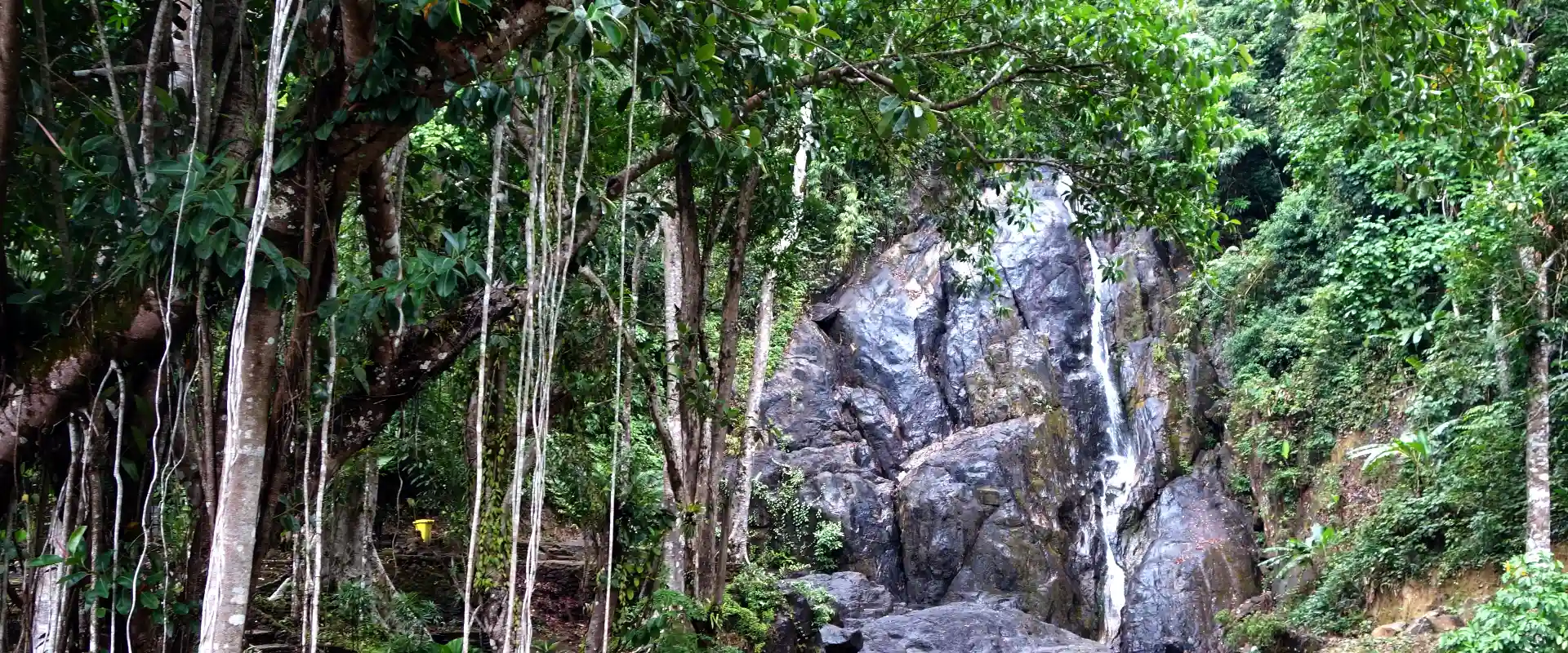
Hot-spring areas near the town offer a mainland alternative to a beach stay. Ngao waterfall and the grass-covered Khao Ya landscape are notable outings, and the first governor's grave adds historical context. Ko Phayam is a separate island destination with beaches and local communities, reached through specific mainland piers and boat services.
Choose between a town-based mainland itinerary and an island stay before organising transport. Confirm the precise pier, boat type, baggage arrangements and return service. A reference to an old Ranong–Myanmar crossing is not evidence that a current international trip is available. Ranong is particularly wet, and rain can affect trails, waterfalls and boat operations. Keep plans flexible, check forecasts and operator notices, and follow instructions around hot water and slippery paths.
Ranong Province covers 3,298.05 square kilometres and had 5 districts, 30 subdistricts and 178 villages at 31 December 2024. Its 2024 registered population was 192,927; this is a whole-province civil-registration count, distinct from the capital city or an estimate of visitors.
Andaman trips generally suit the drier months around November to April. Southwest-monsoon rain and rough seas can affect outdoor access and boat services, so check current forecasts and park notices rather than treating a seasonal pattern as a guarantee.
- Last reviewed
- 25 October 2026
- Content owner
- Thailand Navigator Editorial Team
- Page type
- Province guide