
About Uthai Thani
Uthai Thani Province extends from the Sakae Krang river communities around its capital to western hills and forests. The town offers a quieter cultural base, while Ban Rai and other rural areas need separate journeys and a different pace of travel.
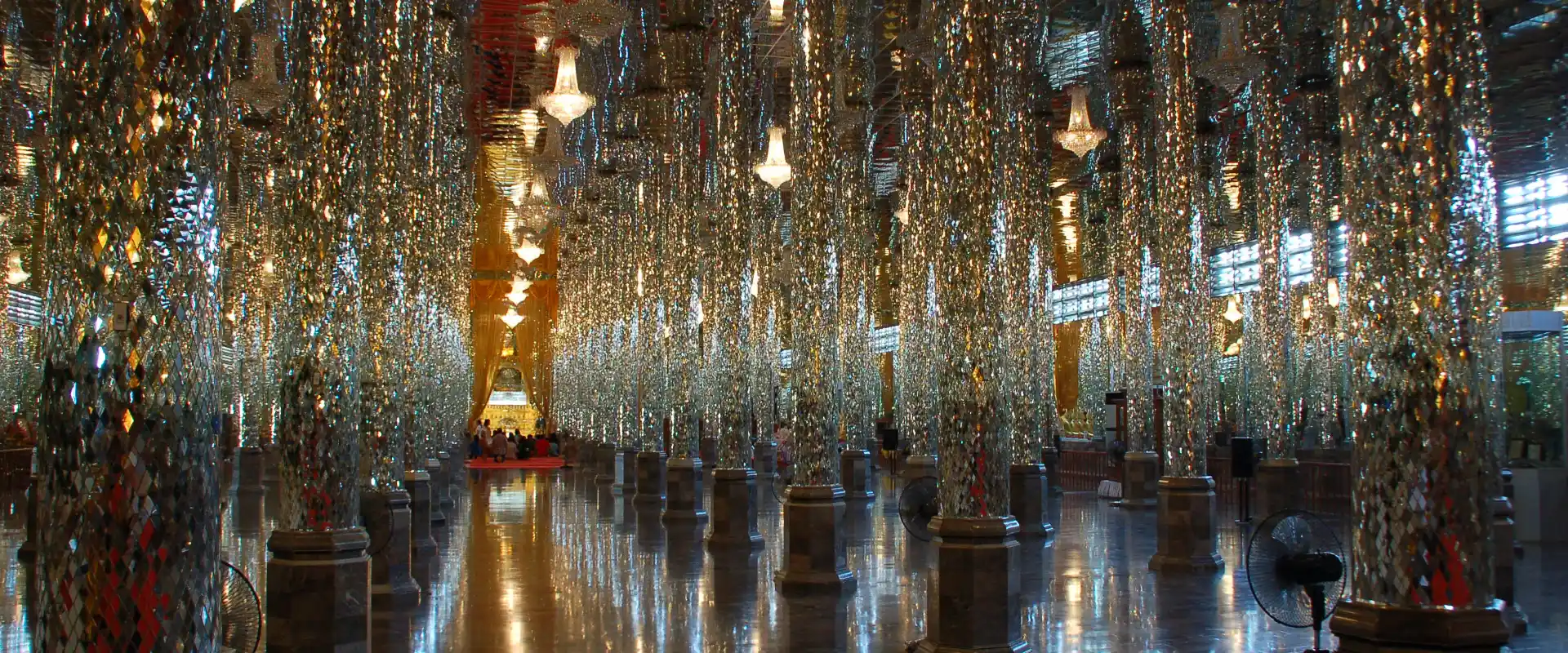
Wat Tha Sung is known for its glass hall, and Wat Uposatharam adds a riverside religious setting. Hup Pa Tat and Phu Wai Cave offer limestone landscapes; Wat Tham Khao Wong is noted for its timber architecture. Huai Kha Khaeng Wildlife Sanctuary belongs to the UNESCO-listed Thungyai–Huai Kha Khaeng sanctuary complex, where public visits remain subject to conservation controls.
Choose a town stay for river life and nearby temples, then arrange road travel for caves or western destinations. A wildlife-sanctuary name does not imply unrestricted access to the forest; check the permitted visitor area and route first. Follow sanctuary and cave instructions, stay on authorised trails and avoid disturbing animals. Carry appropriate footwear and water, check weather before rural outings and treat riverside communities as lived-in places.
Uthai Thani Province covers 6,730.25 square kilometres and had 8 districts, 70 subdistricts and 642 villages at 31 December 2024. Its 2024 registered population was 320,445; this is a whole-province civil-registration count, distinct from the capital city or an estimate of visitors.
November to February generally offers cooler conditions for outdoor visits. The hotter period and the rains bring different travel considerations, with rain usually increasing from around May to October; check current forecasts for your route.