What you need to know
What has changed
Bangkok and six central provinces are on watch for possible flooding along the Chao Phraya River and nearby canals from 9 to 17 November. The Department of Disaster Prevention and Mitigation has asked local authorities to monitor low ground, areas outside flood embankments and stretches without permanent protection.
The warning follows a Royal Thai Navy Hydrographic Department advisory and was reported again on 8 November ahead of the first morning of the watch. The main concern is high tide lifting river and canal levels enough for water to enter low-lying streets or properties.
High-water windows at two locations
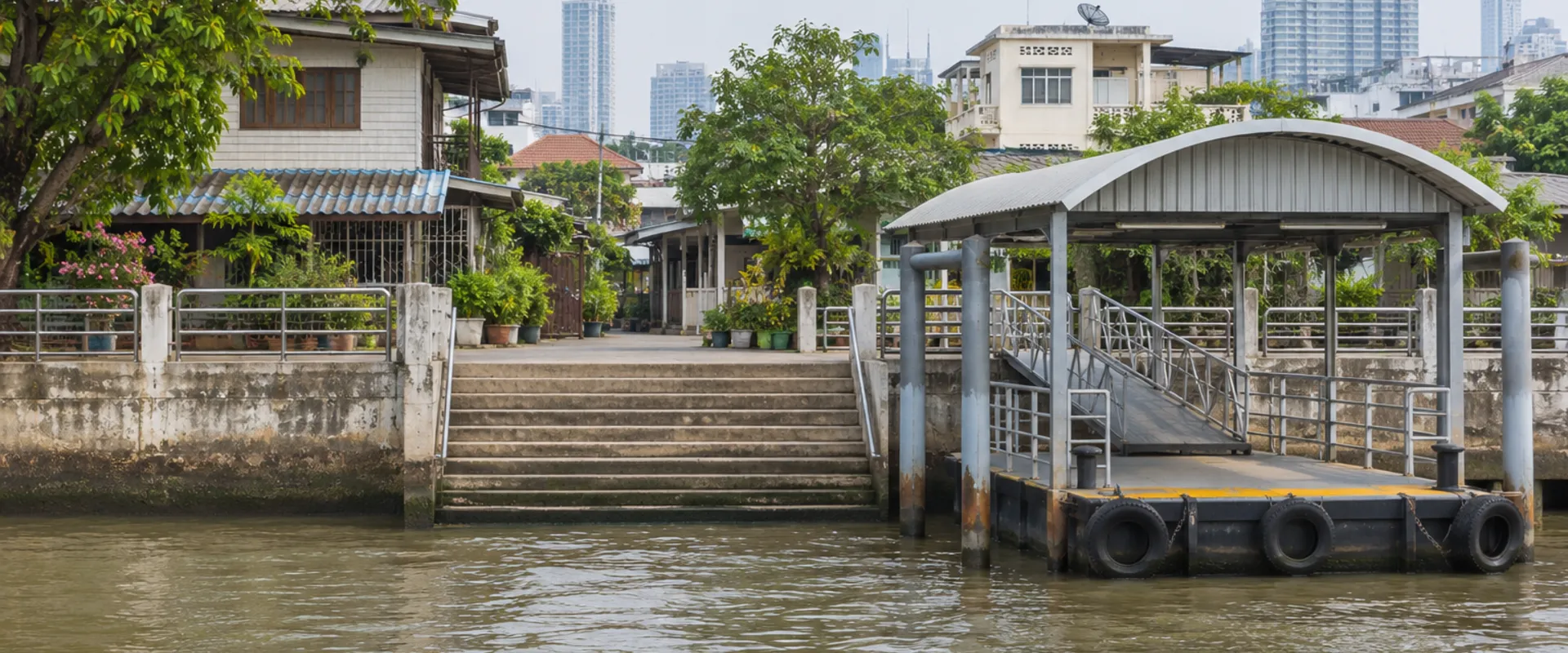
Near Navy headquarters in Bangkok, the advisory projects water levels of roughly 1.70 to 2.00 metres above mean sea level between 7:30am and 1:30pm from 9 to 16 November. Officials say water may enter through gaps in embankments, at piers or through drains where local defences are vulnerable.
Farther downstream around Phra Chulachomklao Fort in Samut Prakan, the projected range is 1.80 to 1.90 metres above mean sea level between 6am and noon from 9 to 17 November. These readings use a sea-level reference. Street conditions depend on the elevation and defences of each site.
Check access before travelling
The watch also covers parts of Pathum Thani, Nonthaburi, Nakhon Pathom and Samut Prakan, as well as all districts of Samut Sakhon and Samut Songkhram. In Bangkok, check your immediate area if you live near the river or a canal, particularly if the street or entrance sits below the embankment.
If a trip depends on a specific pier, riverside restaurant or low-lying road, confirm access with the operator or venue before setting out. The advisory concerns flood risk in exposed areas. Use the Navy's water-level information and current local notices to make decisions about a particular journey.
Bangkok
Use the linked destination page for local context, practical guides and nearby places.