What you need to know
What has changed
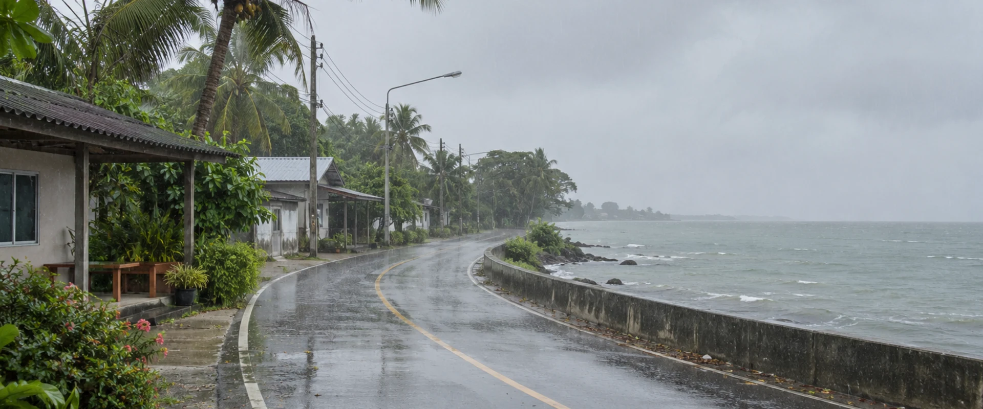
The Thai Meteorological Department has warned of several days of heavy rain in southern Thailand from Wednesday 18 to Sunday 22 November. In its 16 November advisory, the department forecast frequent rain across the South, with some locations likely to see very heavy downpours. It warned that rainfall building up over several days could trigger flash floods and fast-moving runoff.
Where the rain and sea risks are greatest
The department singled out low ground, foothills near streams and areas where runoff passes through. The northeast monsoon over the Gulf of Thailand, the South and the Andaman Sea is expected to strengthen over the period. In the lower Gulf, waves are forecast to reach around two metres and exceed three metres in thunderstorms. The department urged mariners in the Gulf and Andaman Sea to check conditions, proceed carefully and keep clear of thunderstorms.
What to check if you are travelling
For ferry and boat journeys, check your individual sailing with the operator before going to the pier. Departure decisions depend on local conditions and the route. If you have a flight or rail connection after a boat trip, leave time for changes and confirm any replacement arrangements with the provider.
If you are driving, check local road notices before using low-lying routes. Follow local instructions if access is restricted and turn back at a flooded crossing. Conditions can change between towns or ferry routes, so use the latest department and local notices for the place and time you expect to travel.
The dates refer to the forecast weather window. The advisory describes a risk of disruption, while operators and local authorities issue notices for specific services and roads.