
Province guide
Bueng Kan
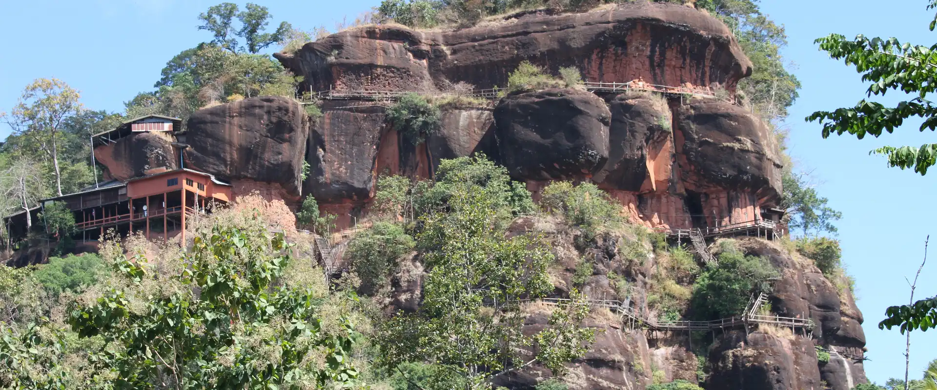
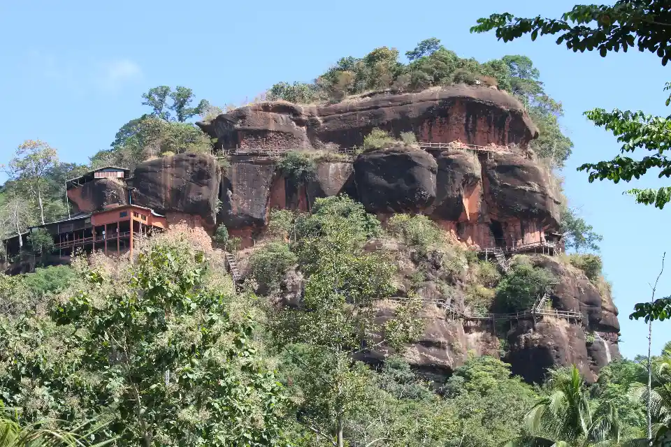
Bueng Kan is a Mekong-border province in northeastern Thailand known for forested hills, dramatic rock formations, wetlands, waterfalls and contemplative temple sites.
Official source · Tourism Authority of Thailand: Bueng KanUnderstand the areas
Explore the areas within Bueng Kan and find a place for your visit or everyday life.
The interactive map loads as it comes into view.
Open full map →Bueng Kan DistrictBueng Kan District is an administrative district (amphoe) in Bueng Kan Province, Thailand.Bueng Khong Long DistrictBueng Khong Long District is an administrative district (amphoe) in Bueng Kan Province, Thailand.Bung Khla DistrictBung Khla District is an administrative district (amphoe) in Bueng Kan Province, Thailand.Pak Khat DistrictPak Khat District is an administrative district (amphoe) in Bueng Kan Province, Thailand.Explore the geographic hierarchy →
Places by type





Explore Bueng Kan
Browse places by type and discover what to see and do in Bueng Kan.
History & culture
Explore Thailand’s rich history through ancient ruins, landmarks and monuments.
Explore places (0) →Religious sites
Visit Buddhist temples, shrines, churches and mosques across Thailand.
Explore places (0) →Nature & scenery
Discover beaches, islands, waterfalls, caves and breathtaking viewpoints.
Explore places (0) →Parks & outdoors
Explore national parks, trails, gardens and incredible wildlife.
Explore places (0) →Public spaces
Find vibrant squares, bridges and iconic public places.
Explore places (0) →Transport
Find airports, railway stations, bus and ferry terminals across Thailand.
Explore places (0) →Local categories
Things to do
Browse local businesses and services by type.
Local categories will appear as connected listings are published.
Browse every category in Bueng Kan →
Find a business or service in Bueng Kan
Search published businesses and services in this area.
Businesses in Bueng Kan
View more businesses →No connected businesses are published yet.
Living in Bueng Kan
Explore neighbourhoods, everyday services and practical information for a longer stay.
Choose an area to learn about living in Bueng Kan
Each area has its own character. Follow the local guides to learn more.
Bueng Kan District
Bueng Kan District is an administrative district (amphoe) in Bueng Kan Province, Thailand.
Bueng Khong Long District
Bueng Khong Long District is an administrative district (amphoe) in Bueng Kan Province, Thailand.
Bung Khla District
Bung Khla District is an administrative district (amphoe) in Bueng Kan Province, Thailand.
Pak Khat District
Pak Khat District is an administrative district (amphoe) in Bueng Kan Province, Thailand.
Compare selected areas
Everyday essentials
HealthcareHospitals, clinics and medical services.Explore →
Schools & familyEducation and everyday family life.Explore →
Shopping & marketsLocal shops, markets and essentials.Explore →
Getting aroundLocal transport, taxis and vehicle hire.Explore →
Working remotelyCoworking and professional services.Explore →
More ways to use Bueng Kan
Plan the practical details
Find transport options and useful information for visiting Bueng Kan.
Getting to Bueng Kan
Explore routes and transport connections. Check current schedules and availability before travelling.



Getting around Bueng Kan
Find local transport services and practical guidance.

Essential travel information
Weather in Bueng Kan
November to February generally offers cooler, drier touring conditions; the rainy season is greener and can improve waterfall flow, but access and trail conditions should be checked.
Loading current conditions and forecast…
Nearby destinations
Explore more places and local guides.
Chumphu Phon Subdistrict
Chumphu Phon Subdistrict is an official tambon in Si Wilai District, Bueng Kan, Thailand. · 3.3 km away
Si Wilai District
Si Wilai District is an administrative district (amphoe) in Bueng Kan Province, Thailand. · 3.8 km away
Na Sabaeng Subdistrict
Na Sabaeng Subdistrict is an official tambon in Si Wilai District, Bueng Kan, Thailand. · 6.9 km away
Si Wilai Subdistrict
Si Wilai Subdistrict is an official tambon in Si Wilai District, Bueng Kan, Thailand. · 7.3 km away
About Bueng Kan
Bueng Kan lies along the Mekong River in northeastern Thailand, facing Laos and combining riverside communities with forested hills, wetlands and sandstone landscapes. The province covers 4,305.75 square kilometres and is divided into eight districts; Bueng Kan District is the main base for provincial services and Mekong-side travel.
The province appeals to travellers seeking nature, scenery and quieter Isan journeys. Tourism Authority of Thailand highlights Phu Tok, Wat Sawang Arom, Phu Langka and Nong Kut Thing, alongside mountain and waterfall landscapes. Conditions at elevated and forest sites can change with weather, so check current access before setting out.
Bueng Kan's geography rewards a district-based itinerary. Mekong viewpoints and town services are concentrated along the eastern side, while inland districts provide access to lakes, forests and upland attractions. Long road distances between stops make route planning important, especially for a short visit.
Travel to and within the province is primarily by road. There is no assumption that public transport reaches every nature site, so confirm current bus connections and arrange a driver or suitable vehicle for remote trailheads. Start early for outdoor visits and avoid compressing widely separated districts into one day.
November to February usually offers cooler, drier weather for viewpoints and general touring. The rainy season brings greener scenery and stronger waterfall flow but can also make trails, steps and rural roads slippery or temporarily difficult. March to May is hot, so plan strenuous activity for the morning.
Wear footwear suited to uneven or wet surfaces, carry water and sun or rain protection, and dress respectfully at temples. Check official weather warnings, local opening conditions and cross-border requirements separately before travel; a provincial visit does not itself confer permission to enter Laos.
- Last reviewed
- 19 September 2026
- Content owner
- Thailand Navigator Editorial Team
- Page type
- Province guide