
Province guide
Nakhon Pathom
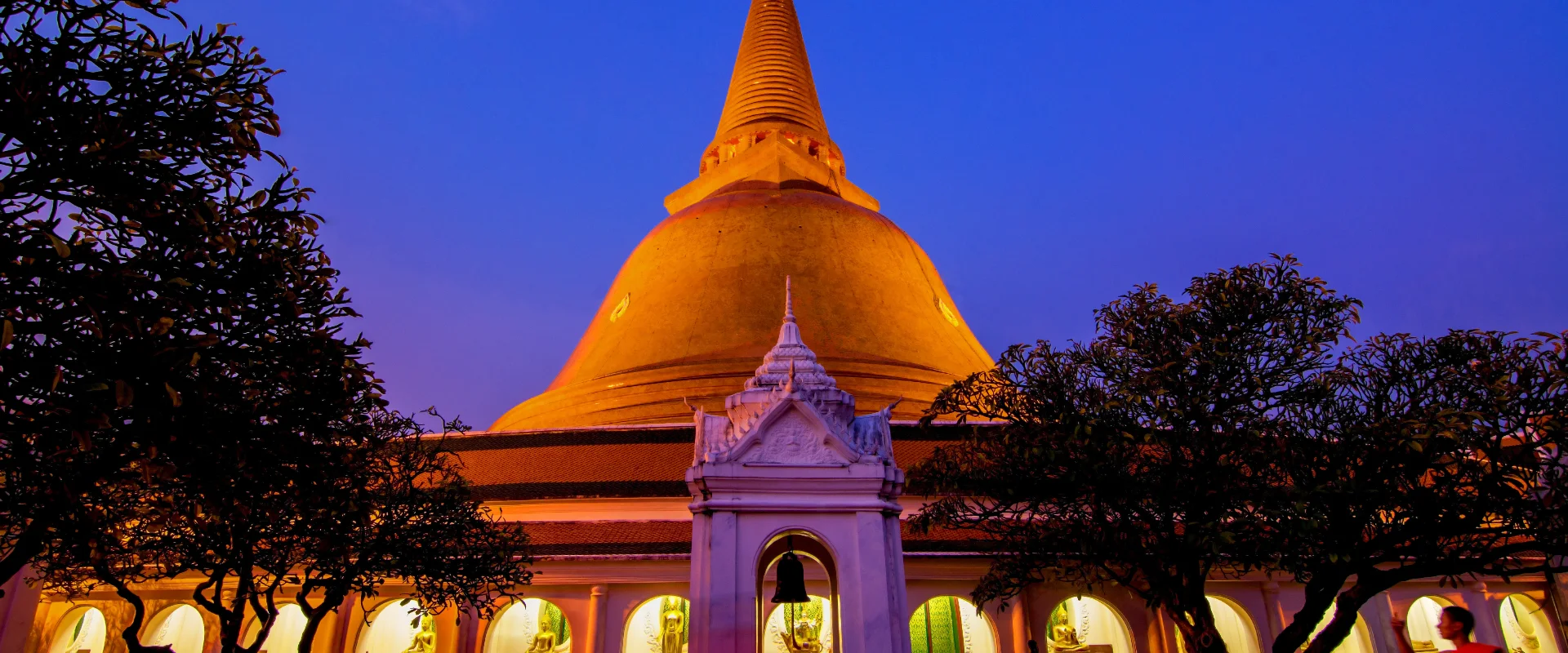
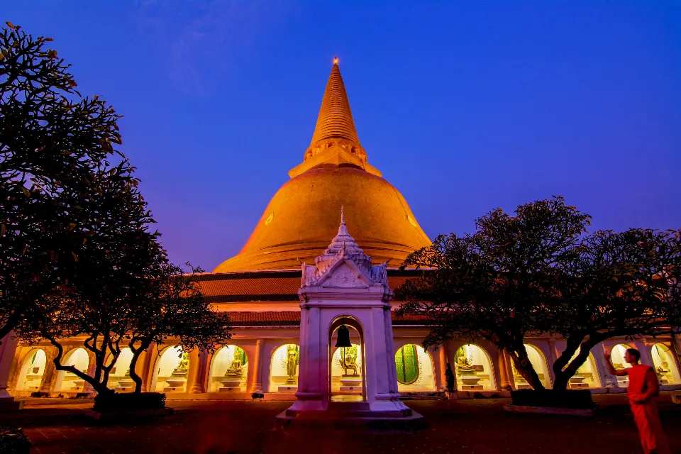
Nakhon Pathom is a historic province west of Bangkok, centred on Phra Pathom Chedi and known for Dvaravati heritage, fertile river plains, orchards and easy day-trip access.
Official source · National Statistical Office of ThailandUnderstand the areas
Explore the areas within Nakhon Pathom and find a place for your visit or everyday life.
The interactive map loads as it comes into view.
Open full map →Bang Len DistrictBang Len District is an administrative district (amphoe) in Nakhon Pathom Province, Thailand.Don Tum DistrictDon Tum District is an administrative district (amphoe) in Nakhon Pathom Province, Thailand.Kamphaeng Saen DistrictKamphaeng Saen District is an administrative district (amphoe) in Nakhon Pathom Province, Thailand.Mueang Nakhon Pathom DistrictMueang Nakhon Pathom District is an administrative district (amphoe) in Nakhon Pathom Province, Thailand.Explore the geographic hierarchy →
Places by type





Explore Nakhon Pathom
Browse places by type and discover what to see and do in Nakhon Pathom.
History & culture
Explore Thailand’s rich history through ancient ruins, landmarks and monuments.
Explore places (0) →Religious sites
Visit Buddhist temples, shrines, churches and mosques across Thailand.
Explore places (0) →Nature & scenery
Discover beaches, islands, waterfalls, caves and breathtaking viewpoints.
Explore places (0) →Parks & outdoors
Explore national parks, trails, gardens and incredible wildlife.
Explore places (0) →Public spaces
Find vibrant squares, bridges and iconic public places.
Explore places (0) →Transport
Find airports, railway stations, bus and ferry terminals across Thailand.
Explore places (1) →Local categories
Things to do
Browse local businesses and services by type.
Browse every category in Nakhon Pathom →

Find a business or service in Nakhon Pathom
Search published businesses and services in this area.
Businesses in Nakhon Pathom
View more businesses →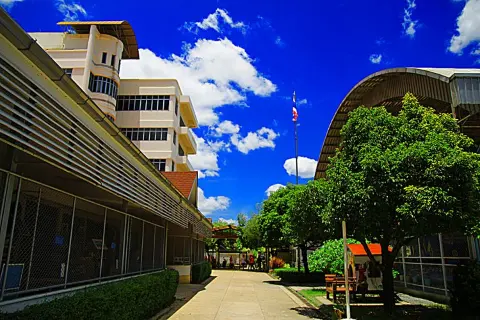
Akedarun School
A private school in Krathum Lom, Sam Phran, providing nursery, kindergarten and primary education with Thai, English and Chinese language learning.
School House
An apartment building on Krathum Lom 14 Alley in Krathum Lom, Sam Phran, Nakhon Pathom.
The Royal Gems Golf And Sport Club
The Royal Gems Golf and Sport Club, presented by its operator as The RG Salaya, is the 18-hole, par-72 club in Sala Ya, with golf reservations on 02 429 8066.
Living in Nakhon Pathom
Explore neighbourhoods, everyday services and practical information for a longer stay.
Choose an area to learn about living in Nakhon Pathom
Each area has its own character. Follow the local guides to learn more.
Bang Len District
Bang Len District is an administrative district (amphoe) in Nakhon Pathom Province, Thailand.
Don Tum District
Don Tum District is an administrative district (amphoe) in Nakhon Pathom Province, Thailand.
Kamphaeng Saen District
Kamphaeng Saen District is an administrative district (amphoe) in Nakhon Pathom Province, Thailand.
Mueang Nakhon Pathom District
Mueang Nakhon Pathom District is an administrative district (amphoe) in Nakhon Pathom Province, Thailand.
Compare selected areas
Everyday essentials
HealthcareHospitals, clinics and medical services.Explore →
Schools & familyEducation and everyday family life.Explore →
Shopping & marketsLocal shops, markets and essentials.Explore →
Getting aroundLocal transport, taxis and vehicle hire.Explore →
Working remotelyCoworking and professional services.Explore →
More ways to use Nakhon Pathom
Plan the practical details
Find transport options and useful information for visiting Nakhon Pathom.
Getting to Nakhon Pathom
Explore routes and transport connections. Check current schedules and availability before travelling.




Getting around Nakhon Pathom
Find local transport services and practical guidance.

Essential travel information
Weather in Nakhon Pathom
November to February is generally cooler and drier; verify current weather, transport timetables and site or market opening arrangements before travelling.
Loading current conditions and forecast…
Nearby destinations
Explore more places and local guides.
Huai Duan Subdistrict
Huai Duan Subdistrict is an official tambon in Don Tum District, Nakhon Pathom, Thailand. · 2.2 km away
Ban Luang Subdistrict
Ban Luang Subdistrict is an official tambon in Don Tum District, Nakhon Pathom, Thailand. · 2.9 km away
Don Phutsa Subdistrict
Don Phutsa Subdistrict is an official tambon in Don Tum District, Nakhon Pathom, Thailand. · 3.0 km away
Don Ruak Subdistrict
Don Ruak Subdistrict is an official tambon in Don Tum District, Nakhon Pathom, Thailand. · 3.1 km away
About Nakhon Pathom
Nakhon Pathom lies immediately west of Bangkok in Thailand's central plain. The province is closely associated with the Dvaravati period and Phra Pathom Chedi, the monumental stupa that dominates the provincial capital. Its low-lying landscape follows the Tha Chin, also called Nakhon Chai Si, river system and supports orchards, food crops and the pomelo-growing tradition highlighted by the Tourism Authority of Thailand.
Plan the province by district. Mueang Nakhon Pathom is the main base for Phra Pathom Chedi, Sanam Chandra Palace, the railway station and the evening market around the chedi. Sam Phran is known for Wat Rai Khing and riverside gardens, while Bang Len provides access to rural waterways and markets such as Lam Phaya. Phutthamonthon is the eastern gateway near Bangkok. Check official opening information before travelling, because temple, palace and market hours can change and some markets operate most fully on particular days.
Nakhon Pathom covers 2,168.33 square kilometres. At 31 December 2024 it was divided into 7 districts, 106 subdistricts and 930 villages. Its registered population was 925,758 in 2024; this is the province-wide civil-registration count reported by Thailand's National Statistical Office, not the population of Nakhon Pathom city and not a visitor estimate. The provincial capital is served by State Railway of Thailand trains, and road links make the province practical from Bangkok; check current rail and bus schedules and allow extra time when combining dispersed district attractions.
November to February generally brings cooler, drier conditions for temple visits, markets and outdoor sightseeing. March to mid-May is typically hot, while the rainy season normally begins around mid-May and eases in upper Thailand around mid-October. Carry sun and rain protection, dress respectfully at religious sites, avoid assuming every floating market is open daily, and consider an overnight stay if your route combines the provincial capital with riverside or rural districts.
- Last reviewed
- 20 September 2026
- Content owner
- Thailand Navigator Editorial Team
- Page type
- Province guide