
Province guide
Nakhon Si Thammarat
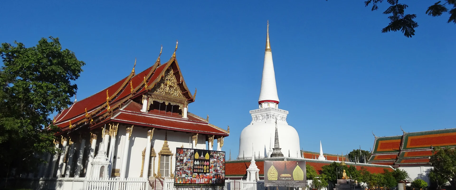
Nakhon Si Thammarat is a large Gulf-coast province where major Buddhist heritage, southern performing arts, forested mountains, Kiriwong village and the beaches of Khanom and Sichon meet.
Official source · National Statistical Office of ThailandUnderstand the areas
Explore the areas within Nakhon Si Thammarat and find a place for your visit or everyday life.
The interactive map loads as it comes into view.
Open full map →Bang Khan DistrictBang Khan District is an administrative district (amphoe) in Nakhon Si Thammarat Province, Thailand.Cha-Uat DistrictCha-Uat District is an administrative district (amphoe) in Nakhon Si Thammarat Province, Thailand.Chaloem Phra Kiet DistrictChaloem Phra Kiet District is an administrative district (amphoe) in Nakhon Si Thammarat Province, Thailand.Chang Klang DistrictChang Klang District is an administrative district (amphoe) in Nakhon Si Thammarat Province, Thailand.Explore the geographic hierarchy →
Bang Khan District →Cha-Uat District →Chaloem Phra Kiet District →Chang Klang District →Chawang District →Chian Yai District →Chulabhorn District →Hua Sai District →Khanom District →Lan Saka District →Mueang Nakhon Si Thammarat District →Na Bon District →Nopphitam District →Pak Phanang District →Phipun District →Phra Phrom District →Phrom Khiri District →Ron Phibun District →Sichon District →Tha Sala District →Tham Phannara District →Thung Song District →Thung Yai District →
Places by type





Explore Nakhon Si Thammarat
Browse places by type and discover what to see and do in Nakhon Si Thammarat.
History & culture
Explore Thailand’s rich history through ancient ruins, landmarks and monuments.
Explore places (0) →Religious sites
Visit Buddhist temples, shrines, churches and mosques across Thailand.
Explore places (0) →Nature & scenery
Discover beaches, islands, waterfalls, caves and breathtaking viewpoints.
Explore places (1) →Parks & outdoors
Explore national parks, trails, gardens and incredible wildlife.
Explore places (0) →Public spaces
Find vibrant squares, bridges and iconic public places.
Explore places (0) →Transport
Find airports, railway stations, bus and ferry terminals across Thailand.
Explore places (0) →Local categories
Things to do
Browse local businesses and services by type.
Local categories will appear as connected listings are published.
Browse every category in Nakhon Si Thammarat →
Find a business or service in Nakhon Si Thammarat
Search published businesses and services in this area.
Businesses in Nakhon Si Thammarat
View more businesses →No connected businesses are published yet.
Living in Nakhon Si Thammarat
Explore neighbourhoods, everyday services and practical information for a longer stay.
Choose an area to learn about living in Nakhon Si Thammarat
Each area has its own character. Follow the local guides to learn more.
Bang Khan District
Bang Khan District is an administrative district (amphoe) in Nakhon Si Thammarat Province, Thailand.
Cha-Uat District
Cha-Uat District is an administrative district (amphoe) in Nakhon Si Thammarat Province, Thailand.
Chaloem Phra Kiet District
Chaloem Phra Kiet District is an administrative district (amphoe) in Nakhon Si Thammarat Province, Thailand.
Chang Klang District
Chang Klang District is an administrative district (amphoe) in Nakhon Si Thammarat Province, Thailand.
Compare selected areas
Everyday essentials
HealthcareHospitals, clinics and medical services.Explore →
Schools & familyEducation and everyday family life.Explore →
Shopping & marketsLocal shops, markets and essentials.Explore →
Getting aroundLocal transport, taxis and vehicle hire.Explore →
Working remotelyCoworking and professional services.Explore →
More ways to use Nakhon Si Thammarat
Plan the practical details
Find transport options and useful information for visiting Nakhon Si Thammarat.
Getting to Nakhon Si Thammarat
Explore routes and transport connections. Check current schedules and availability before travelling.



Getting around Nakhon Si Thammarat
Find local transport services and practical guidance.

Essential travel information
Weather in Nakhon Si Thammarat
February to April is often comparatively drier for broad touring, while July-August brings Kiriwong fruit season; late-year Gulf rain and rough seas require close weather checks.
Loading current conditions and forecast…
Nearby destinations
Explore more places and local guides.
Tha Di Subdistrict
Tha Di Subdistrict is an official tambon in Lan Saka District, Nakhon Si Thammarat, Thailand. · 3.9 km away
Lan Saka District
Lan Saka District is an administrative district (amphoe) in Nakhon Si Thammarat Province, Thailand. · 4.5 km away
Khun Thale Subdistrict
Khun Thale Subdistrict is an official tambon in Lan Saka District, Nakhon Si Thammarat, Thailand. · 5.7 km away
Kamphaeng Sao Subdistrict
Kamphaeng Sao Subdistrict is an official tambon in Mueang Nakhon Si Thammarat District, Nakhon Si Thammarat, Thailand. · 6.0 km away
About Nakhon Si Thammarat
Nakhon Si Thammarat is one of southern Thailand's largest and most culturally significant provinces, extending from the Gulf of Thailand coast to the forested Nakhon Si Thammarat mountain range. The provincial capital is an important centre of southern Buddhist history, while local identity is also expressed through nang talung shadow puppetry, southern dance-drama, craft traditions and a distinctive food culture.
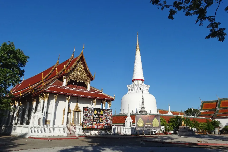
Choose a base for the experience you want. Mueang Nakhon Si Thammarat is the cultural core, led by Wat Phra Mahathat Woramahawihan and the city's museums, temples and performing-arts traditions. Lan Saka is the route to Ban Kiriwong and the foothills of Khao Luang National Park. Khanom and Sichon serve the northern Gulf coast, where beaches and wildlife-watching trips require attention to sea conditions and responsible viewing distances. Pak Phanang has a different coastal and river landscape, while Thung Song is a practical rail and road junction for the province's interior.
The province covers 9,942.50 square kilometres. At 31 December 2024 it had 23 districts, 169 subdistricts and 1,553 villages. Its registered population was 1,534,653 in 2024; this is the province-wide civil-registration count, not the population of Nakhon Si Thammarat city and not a visitor estimate. Nakhon Si Thammarat Airport provides air access, and State Railway of Thailand services reach the provincial capital via Khao Chum Thong Junction; Thung Song is the larger Southern Line junction. Road transfers are still needed for Kiriwong, national-park areas and the northern beaches.
Weather varies between the coast and mountains. February to April is often comparatively drier for broad province touring, though March and April can be very hot. July and August coincide with fruit season highlighted for Kiriwong, but rain remains possible. The Gulf-facing coast can receive its heaviest rain, flooding risk and rougher seas during the northeast-monsoon period, especially late in the year, so check Thai Meteorological Department warnings and boat conditions. Dress respectfully at temples, use licensed transport or responsible tour operators, and confirm current park, attraction, flight and rail information before travelling.
- Last reviewed
- 20 September 2026
- Content owner
- Thailand Navigator Editorial Team
- Page type
- Province guide