
Province guide
Phitsanulok
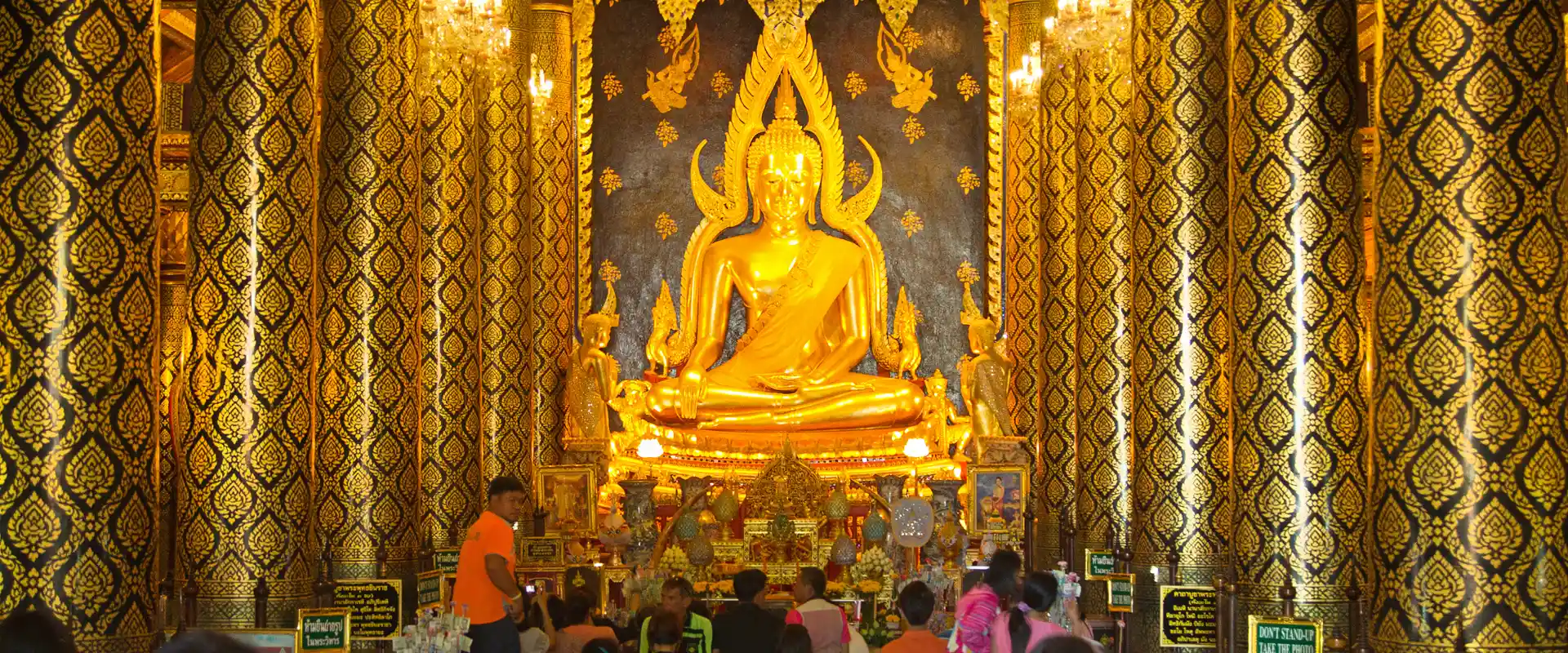
Phitsanulok combines the Phra Buddha Chinnarat temple and a regional urban base with national parks, waterfalls and rural scenery farther east and north.
Official source · Tourism Authority of Thailand: PhitsanulokUnderstand the areas
Explore the areas within Phitsanulok and find a place for your visit or everyday life.
The interactive map loads as it comes into view.
Open full map →Bang Krathum DistrictBang Krathum District is an administrative district (amphoe) in Phitsanulok Province, Thailand.Bang Rakam DistrictBang Rakam District is an administrative district (amphoe) in Phitsanulok Province, Thailand.Chat Trakan DistrictChat Trakan District is an administrative district (amphoe) in Phitsanulok Province, Thailand.Mueang Phitsanulok DistrictMueang Phitsanulok District is an administrative district (amphoe) in Phitsanulok Province, Thailand.Explore the geographic hierarchy →
Places by type





Explore Phitsanulok
Browse places by type and discover what to see and do in Phitsanulok.
History & culture
Explore Thailand’s rich history through ancient ruins, landmarks and monuments.
Explore places (0) →Religious sites
Visit Buddhist temples, shrines, churches and mosques across Thailand.
Explore places (0) →Nature & scenery
Discover beaches, islands, waterfalls, caves and breathtaking viewpoints.
Explore places (0) →Parks & outdoors
Explore national parks, trails, gardens and incredible wildlife.
Explore places (0) →Public spaces
Find vibrant squares, bridges and iconic public places.
Explore places (0) →Transport
Find airports, railway stations, bus and ferry terminals across Thailand.
Explore places (0) →Local categories
Things to do
Browse local businesses and services by type.
Local categories will appear as connected listings are published.
Browse every category in Phitsanulok →
Find a business or service in Phitsanulok
Search published businesses and services in this area.
Businesses in Phitsanulok
View more businesses →No connected businesses are published yet.
Living in Phitsanulok
Explore neighbourhoods, everyday services and practical information for a longer stay.
Choose an area to learn about living in Phitsanulok
Each area has its own character. Follow the local guides to learn more.
Bang Krathum District
Bang Krathum District is an administrative district (amphoe) in Phitsanulok Province, Thailand.
Bang Rakam District
Bang Rakam District is an administrative district (amphoe) in Phitsanulok Province, Thailand.
Chat Trakan District
Chat Trakan District is an administrative district (amphoe) in Phitsanulok Province, Thailand.
Mueang Phitsanulok District
Mueang Phitsanulok District is an administrative district (amphoe) in Phitsanulok Province, Thailand.
Compare selected areas
Everyday essentials
HealthcareHospitals, clinics and medical services.Explore →
Schools & familyEducation and everyday family life.Explore →
Shopping & marketsLocal shops, markets and essentials.Explore →
Getting aroundLocal transport, taxis and vehicle hire.Explore →
Working remotelyCoworking and professional services.Explore →
More ways to use Phitsanulok
Plan the practical details
Find transport options and useful information for visiting Phitsanulok.
Getting to Phitsanulok
Explore routes and transport connections. Check current schedules and availability before travelling.



Getting around Phitsanulok
Find local transport services and practical guidance.

Essential travel information
Weather in Phitsanulok
November to February generally offers cooler conditions for outdoor visits. The hotter period and the rains bring different travel considerations, with rain usually increasing from around May to October; check current forecasts for your route.
Loading current conditions and forecast…
Nearby destinations
Explore more places and local guides.
Ban Klang Subdistrict
Ban Klang Subdistrict is an official tambon in Wang Thong District, Phitsanulok, Thailand. · 1.5 km away
Ban Yang Subdistrict
Ban Yang Subdistrict is an official tambon in Wat Bot District, Phitsanulok, Thailand. · 13 km away
Suan Miang Subdistrict
Suan Miang Subdistrict is an official tambon in Chat Trakan District, Phitsanulok, Thailand. · 17 km away
Kaeng Sopha Subdistrict
Kaeng Sopha Subdistrict is an official tambon in Wang Thong District, Phitsanulok, Thailand. · 17 km away
About Phitsanulok
Phitsanulok Province includes an important regional city and an extensive hinterland of lowlands, hills and protected landscapes. The provincial capital is a useful base for cultural visits and onward travel, while nature destinations lie in several different districts.
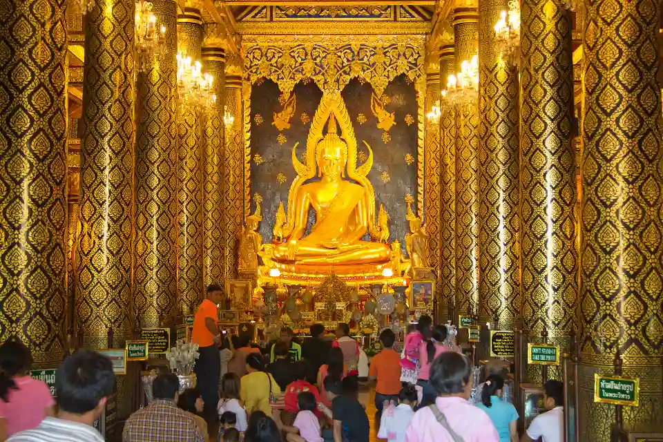
Phra Buddha Chinnarat at Wat Phra Si Rattana Mahathat is the best-known religious landmark. Wat Chulamani, Chan Palace and the Sergeant Major Thawee Folk Museum add historical and everyday-life perspectives. Beyond the city, TAT highlights Chat Trakan waterfall, Phu Hin Rong Kla National Park and the rural limestone scenery of Noen Maprang.
Separate a city itinerary from a mountain or waterfall outing. Confirm the relevant entrance, local transport and return arrangements; travelling across the province can take much longer than reaching the city centre. At temples, follow dress requirements and worshippers' space. Rafting, waterfalls and mountain trails depend on rainfall, operator decisions and park notices, so check current conditions before committing to an outdoor trip.
Phitsanulok Province covers 10,815.85 square kilometres and had 9 districts, 93 subdistricts and 1049 villages at 31 December 2024. Its 2024 registered population was 839,116; this is a whole-province civil-registration count, distinct from the capital city or an estimate of visitors.
November to February generally offers cooler conditions for outdoor visits. The hotter period and the rains bring different travel considerations, with rain usually increasing from around May to October; check current forecasts for your route.
- Last reviewed
- 25 October 2026
- Content owner
- Thailand Navigator Editorial Team
- Page type
- Province guide