

Province guide
Songkhla
Songkhla Province combines its historic coastal capital, Hat Yai's transport and commercial hub, lake-basin communities and a culturally diverse southern hinterland.
Official source · Tourism Authority of Thailand: SongkhlaUnderstand the areas
Explore the areas within Songkhla and find a place for your visit or everyday life.
The interactive map loads as it comes into view.
Open full map →Bang Klam DistrictBang Klam District is an administrative district (amphoe) in Songkhla Province, Thailand.Chana DistrictChana District is an administrative district (amphoe) in Songkhla Province, Thailand.Hat Yai DistrictHat Yai District is an administrative district (amphoe) in Songkhla Province, Thailand.Khlong Hoi Khong DistrictKhlong Hoi Khong District is an administrative district (amphoe) in Songkhla Province, Thailand.Explore the geographic hierarchy →
Bang Klam District →Chana District →Hat Yai District →Khlong Hoi Khong District →Khuan Niang District →Krasae Sin District →Mueang Songkhla District →Na Mom District →Na Thawi District →Ranot District →Rattaphum District →Saba Yoi District →Sadao District →Sathing Phra District →Singhanakhon District →Thepha District →
Places by type





Explore Songkhla
Browse places by type and discover what to see and do in Songkhla.
History & culture
Explore Thailand’s rich history through ancient ruins, landmarks and monuments.
Explore places (0) →Religious sites
Visit Buddhist temples, shrines, churches and mosques across Thailand.
Explore places (0) →Nature & scenery
Discover beaches, islands, waterfalls, caves and breathtaking viewpoints.
Explore places (2) →Parks & outdoors
Explore national parks, trails, gardens and incredible wildlife.
Explore places (0) →Public spaces
Find vibrant squares, bridges and iconic public places.
Explore places (0) →Transport
Find airports, railway stations, bus and ferry terminals across Thailand.
Explore places (2) →Local categories
Things to do
Browse local businesses and services by type.
Browse every category in Songkhla →

Find a business or service in Songkhla
Search published businesses and services in this area.
Businesses in Songkhla
View more businesses →No connected businesses are published yet.
Living in Songkhla
Explore neighbourhoods, everyday services and practical information for a longer stay.
Choose an area to learn about living in Songkhla
Each area has its own character. Follow the local guides to learn more.
Bang Klam District
Bang Klam District is an administrative district (amphoe) in Songkhla Province, Thailand.
Chana District
Chana District is an administrative district (amphoe) in Songkhla Province, Thailand.
Hat Yai District
Hat Yai District is an administrative district (amphoe) in Songkhla Province, Thailand.
Khlong Hoi Khong District
Khlong Hoi Khong District is an administrative district (amphoe) in Songkhla Province, Thailand.
Compare selected areas
Everyday essentials
HealthcareHospitals, clinics and medical services.Explore →
Schools & familyEducation and everyday family life.Explore →
Shopping & marketsLocal shops, markets and essentials.Explore →
Getting aroundLocal transport, taxis and vehicle hire.Explore →
Working remotelyCoworking and professional services.Explore →
More ways to use Songkhla
Plan the practical details
Find transport options and useful information for visiting Songkhla.
Getting to Songkhla
Explore routes and transport connections. Check current schedules and availability before travelling.




Getting around Songkhla
Find local transport services and practical guidance.

Essential travel information
Weather in Songkhla
Southern east-coast rainfall can continue late in the year, particularly during the northeast monsoon. Use current forecasts for the exact district and activity; mainland, upland and offshore conditions may differ.
Loading current conditions and forecast…
Nearby destinations
Explore more places and local guides.
Bang Riang Subdistrict
Bang Riang is a Khuan Niang subdistrict of canal-side communities, vegetable growing and historic produce-trading connections. · 3.2 km away
Bang Klam District
Bang Klam District is an administrative district (amphoe) in Songkhla Province, Thailand. · 6.6 km away
Rattaphum Subdistrict
Rattaphum is a Khuan Niang subdistrict associated with Khlong Phumi, agricultural villages and local irrigation networks. · 7.3 km away
Khuan Niang District
Khuan Niang District is an administrative district (amphoe) in Songkhla Province, Thailand. · 7.9 km away
About Songkhla
Songkhla is a southern province with two distinct urban centres: Songkhla, the provincial capital on the coast, and Hat Yai, an important commercial and transport hub. The wider province includes lake-basin settlements, the Sathing Phra peninsula, beaches and inland communities.
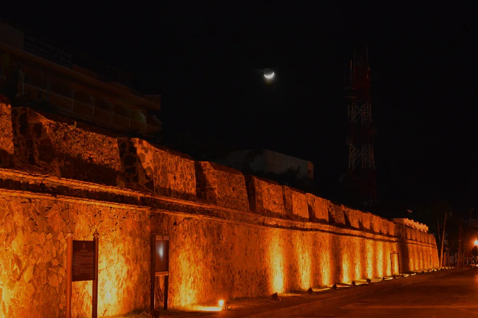
Songkhla's old town and National Museum provide cultural context through architecture and local history. Coastal and lake scenery, Tinsulanond Bridge and Wat Chathing Phra offer different outings beyond the centre. Hat Yai supports a separate city-based stay, while food and traditions reflect Thai, Chinese and Malay influences across the province.
Choose your base according to the actual destination. Hat Yai and Songkhla are different places, and the lake basin and southern districts require onward travel. Confirm the precise accommodation, station or meeting point rather than using the province name alone. Security advice differs within the province. As reviewed on 25 October 2026, FCDO advises against all but essential travel to Chana, Thepha, Na Thawi and Saba Yoi districts and on the Hat Yai–Padang Besar rail route. Check current guidance before planning these journeys.
Songkhla Province covers 7,393.89 square kilometres and had 16 districts, 127 subdistricts and 1023 villages at 31 December 2024. Its 2024 registered population was 1,431,107; this is a whole-province civil-registration count, distinct from the capital city or an estimate of visitors.
Southern east-coast rainfall can continue late in the year, particularly during the northeast monsoon. Use current forecasts for the exact district and activity; mainland, upland and offshore conditions may differ.
- Last reviewed
- 25 October 2026
- Content owner
- Thailand Navigator Editorial Team
- Page type
- Province guide