
- Kata Beach
Start here if you’re staying nearby and want swimming when conditions allow, food in the resort area and a manageable trip back for a break.
The main bay can get surf. Choose the staffed part on the day, check your public entrance and plan your shade before walking onto the sand. - Karon Beach
Good for a long shoreline walk and anyone who wants to start on a paved promenade. The open bay can have strong surf or currents.
Choose the part closest to your hotel or food stop. Phuket Hotels Association identifies paved promenade sections. Check the exact crossing, kerbs, toilet and any move from pavement to sand. - Kata Noi Beach
A smaller bay for an outing from Kata. Bring water, and decide where you’ll get lunch or shade before setting off.
Compare the drop-off to the public entrance you intend to use. Check for steps and steep slopes on foot. Follow flags and lifeguards when swell enters the bay. - Nai Harn Beach
A southern bay to pair with a Rawai-area stay. Choose it for time on one beach rather than a fast stop from the north.
Check the parking or ride pickup and the route to toilets or food. Surf and currents can affect swimming despite the curved shoreline.
Beaches & Islands
Phuket Beaches Compared
Compare ten Phuket beaches by swimming conditions, shade, facilities, access and how far they are from your base.
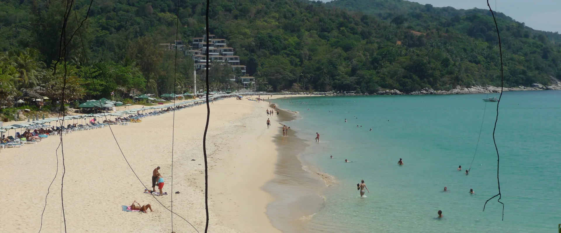
Conditions change daily. Follow lifeguards and beach flags. Check the specific entrance, surfaces and facilities you need before travelling.
Quick answer
Choose a beach near your base, then check the flags
Start with Kata or Karon from the southwest, Kamala from Patong, or Nai Yang if you’re staying near the airport and want shade. Choose a staffed section for swimming and make sure the access route works for everyone.
Swimming Check flags and lifeguards once you arrive.
Shade and facilities Pick a particular stretch or business before leaving.
Step-free plans Verify the whole route from drop-off to your seat or toilet.
Find a Phuket beach that fits your day
Choose the option that best matches your situation to see the most relevant part of this guide.
Pick the part of Phuket Island you’re already in. Then choose what matters most for that day: a supervised place to swim, places to eat, shade or a route you can manage. The beach nearest your room can be the better choice when surf, heat or traffic rules out a longer outing.
Southwest beaches from Kata and Karon
From Patong, Kamala or Bang Tao
- Patong Beach
A convenient choice if you’re already in Patong and want food, drinks and transport close by. Expect a busier shore and designated activity areas.
Pick a supervised swimming area away from boat and board zones. For convenient access, verify a particular crossing and accessible public facility instead of relying on the beach’s popularity. - Kamala Beach
A west-coast bay north of Patong with food nearby. The Tourism Authority describes tree shade toward the northern end.
Check where you’ll enter, which facilities are open, and the flags. If you came by bus, check the road stop and the last return. - Surin Beach
Useful as a separate outing from Bang Tao or Kamala. The Hotels Association identifies a paved promenade.
For swimming, treat the flags as decisive. Strong currents are possible. A paved promenade can offer a shore view if the route from drop-off works for you. - Bang Tao Beach
A long resort coast near Choeng Thale. Works well if you already have access to a particular hotel, restaurant or public approach.
Choose the exact stretch early. A toilet or drop-off at one end may be too far for your group. Confirm any beach club, shade or restroom arrangements directly.
Near the airport and the north coast
Nai Yang Beach is the first place to check if you want a beach near Phuket International Airport with trees behind parts of the shore. It lies in the Sirinat National Park area, where the tourism authority reports casuarina trees. Ask about your chosen entrance, any park charge and the current route to facilities. The local Hotels Association reports a paved promenade. Confirm the paved path actually reaches your drop-off and planned stop.
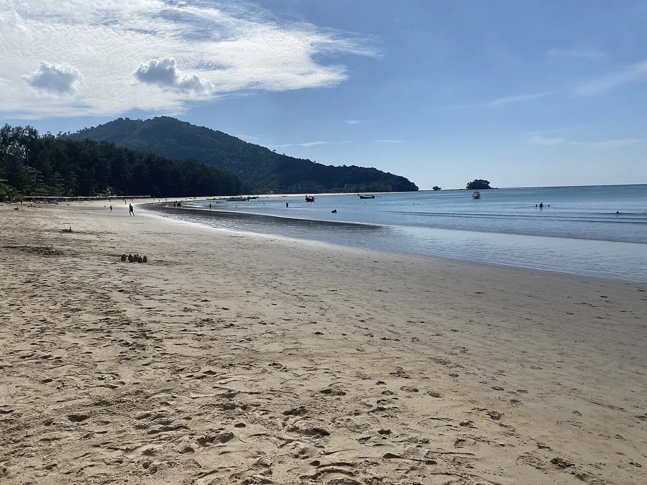
Mai Khao Beach is a long, open northwestern stretch. Choose an access point near your hotel and arrange a pickup if you’ll stay a while. Treat it as a walk or a view whenever surf or warning flags make the sea unsuitable. Take water and organise shade before leaving, particularly if you plan to be away from a resort.
Check the exact step-free route
1. Name the entrance. Send your hotel, driver or venue the entrance pin. Ask whether a vehicle can stop next to it and whether a kerb, flight of steps or steep slope intervenes.
2. Ask about the whole path. Get a recent photo of the route from vehicle to seating, toilets and any viewpoint. Ask about usable width, uneven paving, sand across the path, the slope of ramps, and the width and turning room of the accessible toilet.
3. Work out where you’ll spend the day. A paved promenade can be useful for a shore view. Going onto the sand or into the sea takes a separate access plan. Confirm suitable assistance or equipment with the specific operator if you need it.
Example. If you’re staying in Karon and one person uses a wheelchair, ask about the public crossing and exact promenade stretch nearest your hotel. Reserve a named nearby lunch stop with a level entry and an accessible toilet, then arrange a ride to the same pin for the return. If the sand route is unclear, plan the outing around the seaside paved section.
Compare travel times from your base
These are rounded driving estimates from representative Thailand Navigator pins, calculated on OpenStreetMap road routes on 17 November 2026. Build in time for your own hotel, traffic, rain, pickup or bus waiting, parking and the final walk.
- Based in Kata
Kata Beach to Karon is about 5 minutes driving across roughly 3 km. Kata Noi is about 5 minutes across roughly 2 km.
Check the route on foot separately. The road estimate gives no information about hill gradients, crossings or steps. - Based in Patong
Patong to Kamala is about 10–15 minutes driving across roughly 9.5 km before traffic.
Compare an actual departure-time estimate, especially if you have a fixed ride home. - Based near Bang Tao
Bang Tao to Surin is about 5–10 minutes driving between the mapped points, across just over 3 km.
Confirm the stretch of Bang Tao you mean. The coast is long enough for access and times to differ within the same beach. - Based in Phuket Old Town
Old Town to Kata is about 20 minutes at the model’s baseline. To Nai Harn, it is about 25 minutes before traffic.
Use an actual journey estimate to plan a day out and arrange a return pickup from an exact beach access point.
The Phuket Smart Bus connects several west-coast areas. Check the current stop, direction and latest return before leaving. If you need a short, level route from vehicle to promenade, confirm the exact drop-off with a car provider.
Decide whether to swim
During Phuket’s southwest monsoon, roughly May to October, waves and rip currents can make west-facing beaches unsafe. Conditions also change outside those months. Follow lifeguards and signs. Stay out of the sea if red flags are flying, and ask the lifeguard where supervised swimming is permitted before anyone goes in. With children, pick a supervised zone you can reach safely and keep them close.
If conditions rule out swimming, use a verified promenade, eat nearby or swap the beach for Phuket Old Town. For a flexible first trip with airport and accommodation choices, see Phuket Travel Tips for First-Time Visitors.
Sources and review
Sources used for this guide
Sources are reviewed regularly so important changes can be reflected in the guide.
Community experiences
Reviews of Phuket Beaches Compared
Read first-hand experiences, then share your own.
Loading member reviews…
Reviews are temporarily unavailable. Please try again.
—
Ratings include stars without a written review.Rating distribution
No written reviews yet
Your experience could help the next visitor decide what to explore.
Be the first to share your experience
What stood out? What would you tell someone planning a visit? A short, honest review is enough.
Write a review