
Subdistrict guide
Chang Phueak Subdistrict
Chang Phueak is a forest-and-mountain subdistrict southwest of Chanae, with northern village lowlands and uplands reaching the Thai–Malaysian border.
Official source · Responsible local government authority in NarathiwatUnderstand the areas
Explore the areas within Chang Phueak Subdistrict and find a place for your visit or everyday life.
The interactive map loads as it comes into view.
Open full map →No connected neighbourhoods or child areas have been published for this place yet.
Explore the geographic hierarchy →
Places by type



Explore Chang Phueak Subdistrict
Browse places by type and discover what to see and do in Chang Phueak Subdistrict.
History & culture
Explore Thailand’s rich history through ancient ruins, landmarks and monuments.
Explore places (0) →Religious sites
Visit Buddhist temples, shrines, churches and mosques across Thailand.
Explore places (0) →Nature & scenery
Discover beaches, islands, waterfalls, caves and breathtaking viewpoints.
Explore places (0) →Parks & outdoors
Explore national parks, trails, gardens and incredible wildlife.
Explore places (0) →Public spaces
Find vibrant squares, bridges and iconic public places.
Explore places (0) →Transport
Find airports, railway stations, bus stops, minivan stations and ferry terminals across Thailand.
Explore places (0) →Local categories
Things to do
Browse local businesses and services by type.
Local categories will appear as connected listings are published.
Browse every category in Chang Phueak Subdistrict →
Find a business or service in Chang Phueak Subdistrict
Search published businesses and services in this area.
Businesses in Chang Phueak Subdistrict
View more businesses →No connected businesses are published yet.
Living in Chang Phueak Subdistrict
Explore neighbourhoods, everyday services and practical information for a longer stay.
Everyday essentials
HealthcareHospitals, clinics and medical services.Explore →
Schools & familyEducation and everyday family life.Explore →
Shopping & marketsLocal shops, markets and essentials.Explore →
Getting aroundLocal transport, taxis and vehicle hire.Explore →
Working remotelyCoworking and professional services.Explore →
More ways to use Chang Phueak Subdistrict
Plan the practical details
Find transport options and useful information for visiting Chang Phueak Subdistrict.
Getting to Chang Phueak Subdistrict
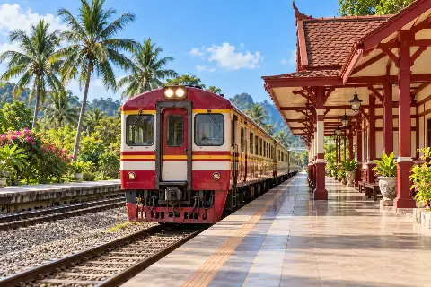
Explore routes and transport connections. Check current schedules and availability before travelling.

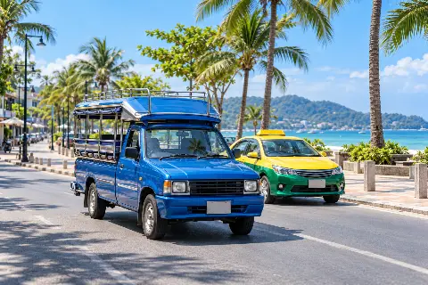
Getting around Chang Phueak Subdistrict
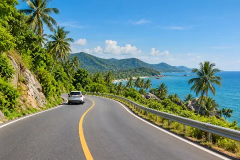
Find local transport services and practical guidance.
Essential travel information
Weather in Chang Phueak Subdistrict
Check the current conditions and forecast when planning your visit.
Loading current conditions and forecast…
Nearby destinations
Explore more places and local guides.
Sukhirin Subdistrict
Sukhirin Subdistrict contains forested foothill communities including Chulabhorn Phatthana 12, whose settlement history and local food form part of the area's identity. · 15 km away
Chanae Subdistrict
Chanae Subdistrict is the central local area of Chanae District, combining village settlements, cultivation and wooded foothill country. · 17 km away
Si Banphot Subdistrict
Si Banphot is a mountainous Si Sakhon subdistrict with Sai Buri River communities, rubber and fruit cultivation, and Ai Sue Do Waterfall. · 17 km away
Du Song Yo Subdistrict
Du Song Yo is a village-based subdistrict north of Chanae's central area, with a distinct local identity within Narathiwat's inland agricultural landscape. · 17 km away
About Chang Phueak Subdistrict
Chang Phueak (ช้างเผือก) is a subdistrict of Chanae District in Narathiwat, separate from the places of the same name in Chiang Mai and Roi Et. Its local development plan describes lowlands to the north and an extensive forested mountain landscape to the south, along the Malaysian boundary.
Communities include Ban Nam Won, Ban Ai Bue Tae and Ban Chang Phueak. The approach from the Chanae centre follows the local road network towards the villages; distances and access depend on the particular destination, not simply on reaching a central map point. Agriculture and village life sit alongside the upland forest setting.
Arrange any community or countryside visit with a local contact. The presence of forest and a border landscape does not establish a public hiking route or an international crossing. Confirm the road, permissions and weather conditions for the place you intend to reach, and use the district name จะแนะ to distinguish this Chang Phueak from northern Thailand.
- Last reviewed
- 22 October 2026
- Content owner
- Thailand Navigator Editorial Team
- Page type
- Subdistrict guide
Community experiences
Reviews of Chang Phueak Subdistrict
Read first-hand experiences, then share your own.
Loading member reviews…
Reviews are temporarily unavailable. Please try again.
—
Ratings include stars without a written review.Rating distribution
No written reviews yet
Your experience could help the next visitor decide what to explore.
Be the first to share your experience
What stood out? What would you tell someone planning a visit? A short, honest review is enough.
Write a review