
Province guide
Phatthalung
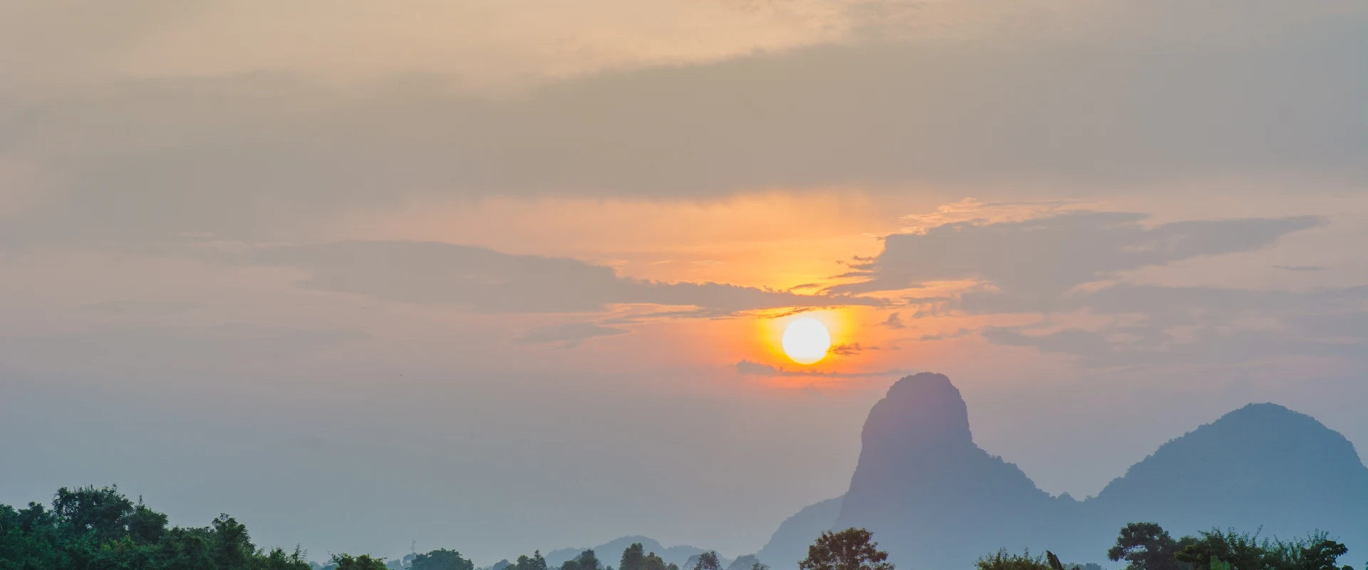
Phatthalung offers Thale Noi wetlands, lake-basin communities, limestone landmarks and southern performing traditions on the western side of the Songkhla Lake basin.
Official source · Tourism Authority of Thailand: PhatthalungUnderstand the areas
Explore the areas within Phatthalung and find a place for your visit or everyday life.
The interactive map loads as it comes into view.
Open full map →Bang Kaeo DistrictBang Kaeo District is an administrative district (amphoe) in Phatthalung Province, Thailand.Khao Chaison DistrictKhao Chaison District is an administrative district (amphoe) in Phatthalung Province, Thailand.Khuan Khanun DistrictKhuan Khanun District is an administrative district (amphoe) in Phatthalung Province, Thailand.Kong Ra DistrictKong Ra District is an administrative district (amphoe) in Phatthalung Province, Thailand.Explore the geographic hierarchy →
Places by type





Explore Phatthalung
Browse places by type and discover what to see and do in Phatthalung.
History & culture
Explore Thailand’s rich history through ancient ruins, landmarks and monuments.
Explore places (0) →Religious sites
Visit Buddhist temples, shrines, churches and mosques across Thailand.
Explore places (0) →Nature & scenery
Discover beaches, islands, waterfalls, caves and breathtaking viewpoints.
Explore places (0) →Parks & outdoors
Explore national parks, trails, gardens and incredible wildlife.
Explore places (0) →Public spaces
Find vibrant squares, bridges and iconic public places.
Explore places (0) →Transport
Find airports, railway stations, bus and ferry terminals across Thailand.
Explore places (0) →Local categories
Things to do
Browse local businesses and services by type.
Local categories will appear as connected listings are published.
Browse every category in Phatthalung →
Find a business or service in Phatthalung
Search published businesses and services in this area.
Businesses in Phatthalung
View more businesses →No connected businesses are published yet.
Living in Phatthalung
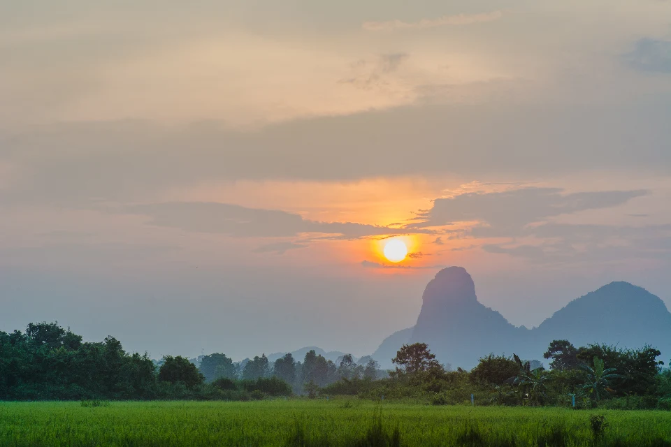
Explore neighbourhoods, everyday services and practical information for a longer stay.
Choose an area to learn about living in Phatthalung
Each area has its own character. Follow the local guides to learn more.
Bang Kaeo District
Bang Kaeo District is an administrative district (amphoe) in Phatthalung Province, Thailand.
Khao Chaison District
Khao Chaison District is an administrative district (amphoe) in Phatthalung Province, Thailand.
Khuan Khanun District
Khuan Khanun District is an administrative district (amphoe) in Phatthalung Province, Thailand.
Kong Ra District
Kong Ra District is an administrative district (amphoe) in Phatthalung Province, Thailand.
Compare selected areas
Everyday essentials
HealthcareHospitals, clinics and medical services.Explore →
Schools & familyEducation and everyday family life.Explore →
Shopping & marketsLocal shops, markets and essentials.Explore →
Getting aroundLocal transport, taxis and vehicle hire.Explore →
Working remotelyCoworking and professional services.Explore →
More ways to use Phatthalung
Plan the practical details
Find transport options and useful information for visiting Phatthalung.
Getting to Phatthalung
Explore routes and transport connections. Check current schedules and availability before travelling.



Getting around Phatthalung
Find local transport services and practical guidance.

Essential travel information
Weather in Phatthalung
Southern east-coast rainfall can continue late in the year, particularly during the northeast monsoon. Use current forecasts for the exact district and activity; mainland, upland and offshore conditions may differ.
Loading current conditions and forecast…
Nearby destinations
Explore more places and local guides.
Na Not Subdistrict
Na Not is a southern Mueang Phatthalung tambon reached from Highway 4, with communities including Ko Thang, Wang Pring and Ko Chot. · 3.2 km away
Khuan Khanun Subdistrict
Khuan Khanun in Khao Chaison is a rural Phatthalung subdistrict associated with Lae Phra waterbody and Khlong Chum Choeng Di. · 4.8 km away
Tha Khae Subdistrict
Tha Khae is a Mueang Phatthalung tambon with canal-side rice and betel-growing communities and a noted Nora performance heritage. · 5.4 km away
Somwang Subdistrict
Somwang is a Kong Ra subdistrict of seven villages, with western foothills, eastern lowlands and agricultural livelihoods. · 6.9 km away
About Phatthalung
Phatthalung is a southern inland province on the western side of the Songkhla Lake basin. Its identity combines wetlands, fishing and farming communities with limestone hills and forested uplands. The provincial town is associated with Khao Ok Thalu, while lake visits require travelling beyond the town centre.
Thale Noi is a major wetland and waterbird destination, with boat outings, lotus scenery and nearby sedge-weaving communities. Khlong Pak Pra is known for the silhouette of traditional lift nets. Other options include Khao Chaison hot springs and Khao Pu Khao Ya National Park. Nang Talung shadow theatre and Nora performance are important parts of local cultural heritage.
Choose accommodation around either the town, the lake or the uplands according to your interests. An early wetland outing and a forest excursion need different routes; confirm the meeting place, weather and return arrangements directly with local providers. Birds and lotus displays are seasonal, and sightings are not guaranteed. Keep a respectful distance from wildlife, avoid loud disturbance and ask before photographing people at work or religious events.
Phatthalung Province covers 3,424.47 square kilometres and had 11 districts, 65 subdistricts and 670 villages at 31 December 2024. Its 2024 registered population was 519,440; this is a whole-province civil-registration count, distinct from the capital city or an estimate of visitors.
Southern east-coast rainfall can continue late in the year, particularly during the northeast monsoon. Use current forecasts for the exact district and activity; mainland, upland and offshore conditions may differ.
- Last reviewed
- 25 October 2026
- Content owner
- Thailand Navigator Editorial Team
- Page type
- Province guide