What you need to know
What has changed
The Thai Meteorological Department's 7 November forecast warns that southern Thailand will face heavy rain across many areas from 8–13 November, with very heavy rain in some places. Strengthening easterly winds over the Gulf, the South and the Andaman Sea are expected to drive the increase.
The new outlook extends beyond the earlier 5–9 November warning period. Visitors with island transfers, outdoor activities or road journeys next week should check the latest local forecast before setting out.
Storm risks remain today
For 7 November, TMD says rain is starting to decrease in upper Thailand, but unsettled weather continues. Thunderstorms and gusts remain possible, with isolated heavy rain in the North and East. Southern rainfall is increasing, with heavy falls in some areas.
The department advises people to avoid exposed places, large trees and unstable structures or advertising signs during thunderstorms. This is a forecast of risk; it does not establish that flooding or transport disruption has occurred at any particular destination.
Check boat services and conditions on the ground
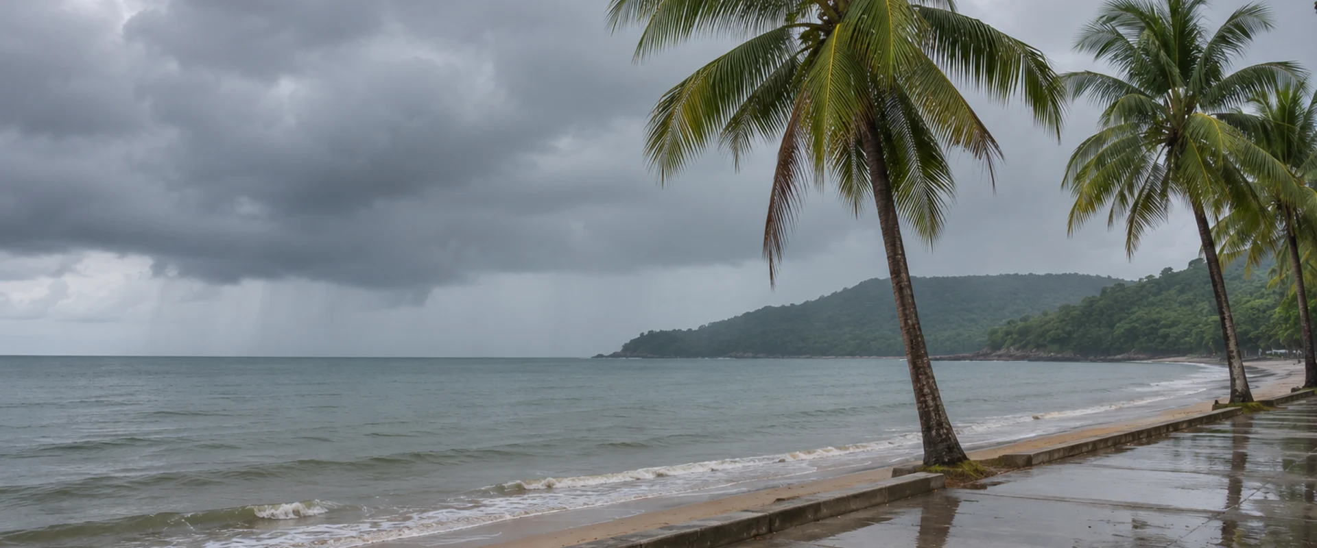
TMD warns that waves can exceed two metres in thunderstorm areas in both the Gulf of Thailand and the Andaman Sea. Mariners are advised to navigate cautiously and avoid storm areas.
Travellers should check their operator's current sailing information rather than assume every service is cancelled. Keep enough flexibility for a changed departure and confirm onward connections if weather delays a transfer.
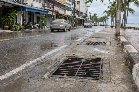
The department's accompanying weekly advice also flags flash floods, runoff and landslide risks from accumulated southern rain, especially near foothill waterways and low-lying areas. Follow local closure notices and check conditions before visits to waterfalls or other exposed natural sites.
The linked TMD pages update as new forecasts are issued. This report reflects the bulletin checked on the morning of 7 November, rather than a fixed guarantee of conditions throughout the week.